Hangars and History

History emerges during re-enactment of 1939 transcontinental flight

The sense of history crept up on me. At first it was just my own history: I remember a layover in North Bay in 1973. I was a very green First Officer on the DC-9. The layover stuck in my mind because of the 2-needle red pines along the shore of Lake Nipissing, where I went for a walk. They were the same pines that crowd the cottage on Belmont Lake where my parents met and where I have been going all my life. Now the North Bay shoreline has been nicely updated as a park, accessible to all. The pines, as far as I could see, have gone.

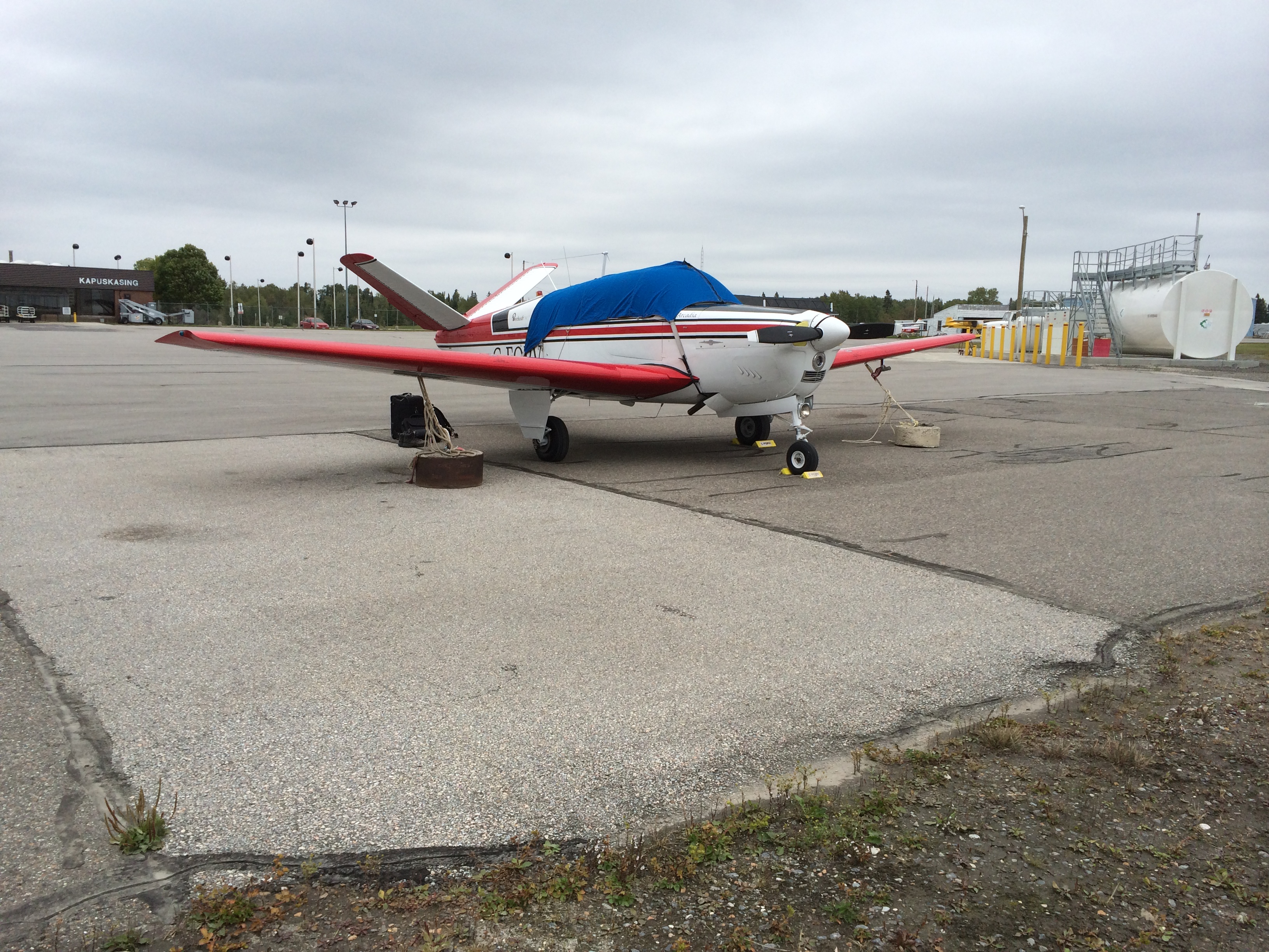
A friend had told me to check out the hangar in Kapuskasing. Made of concrete blocks, it was one of the original Trans Canada Air Lines hangars from the 1930's.

IMG_0096
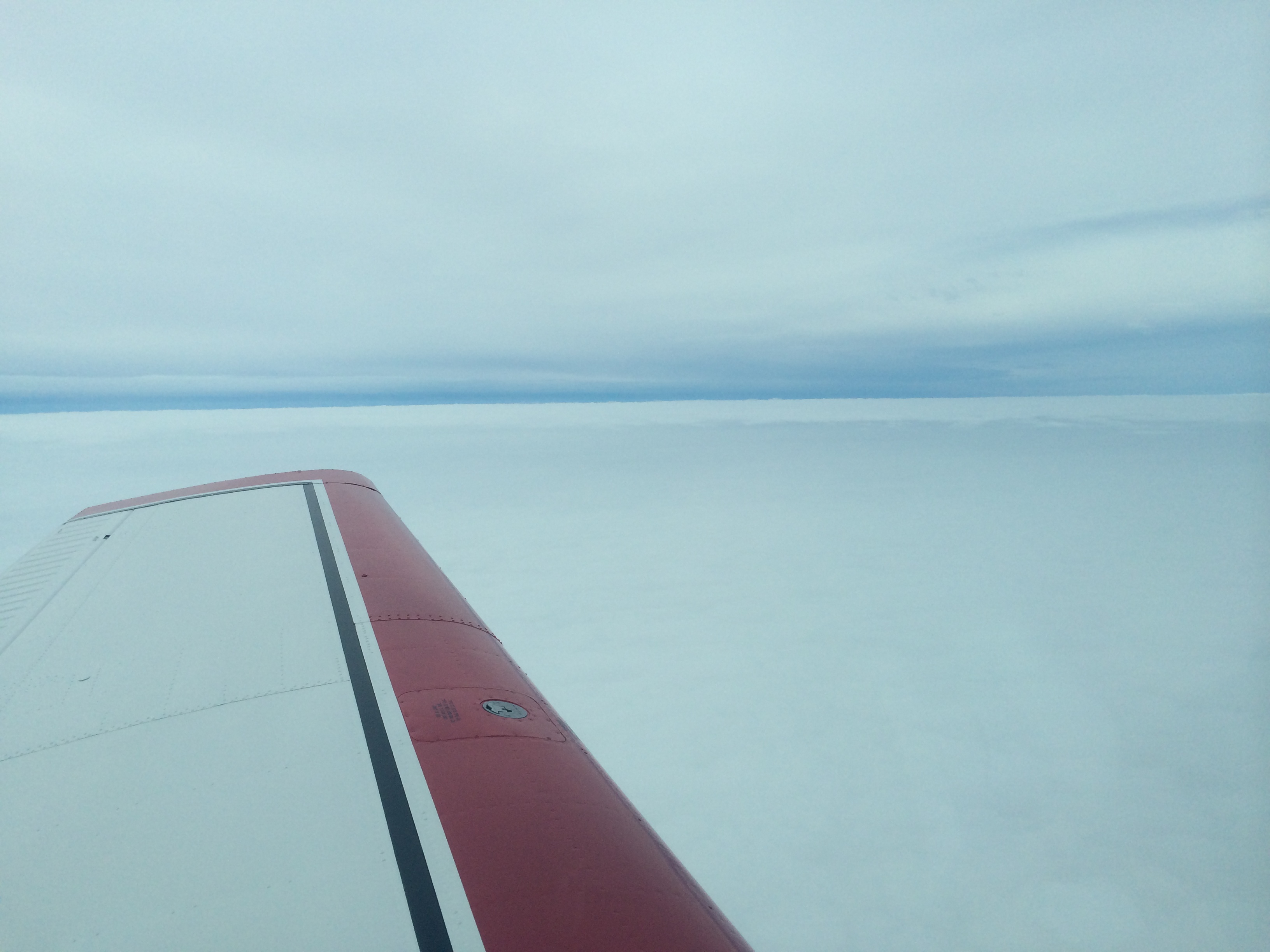
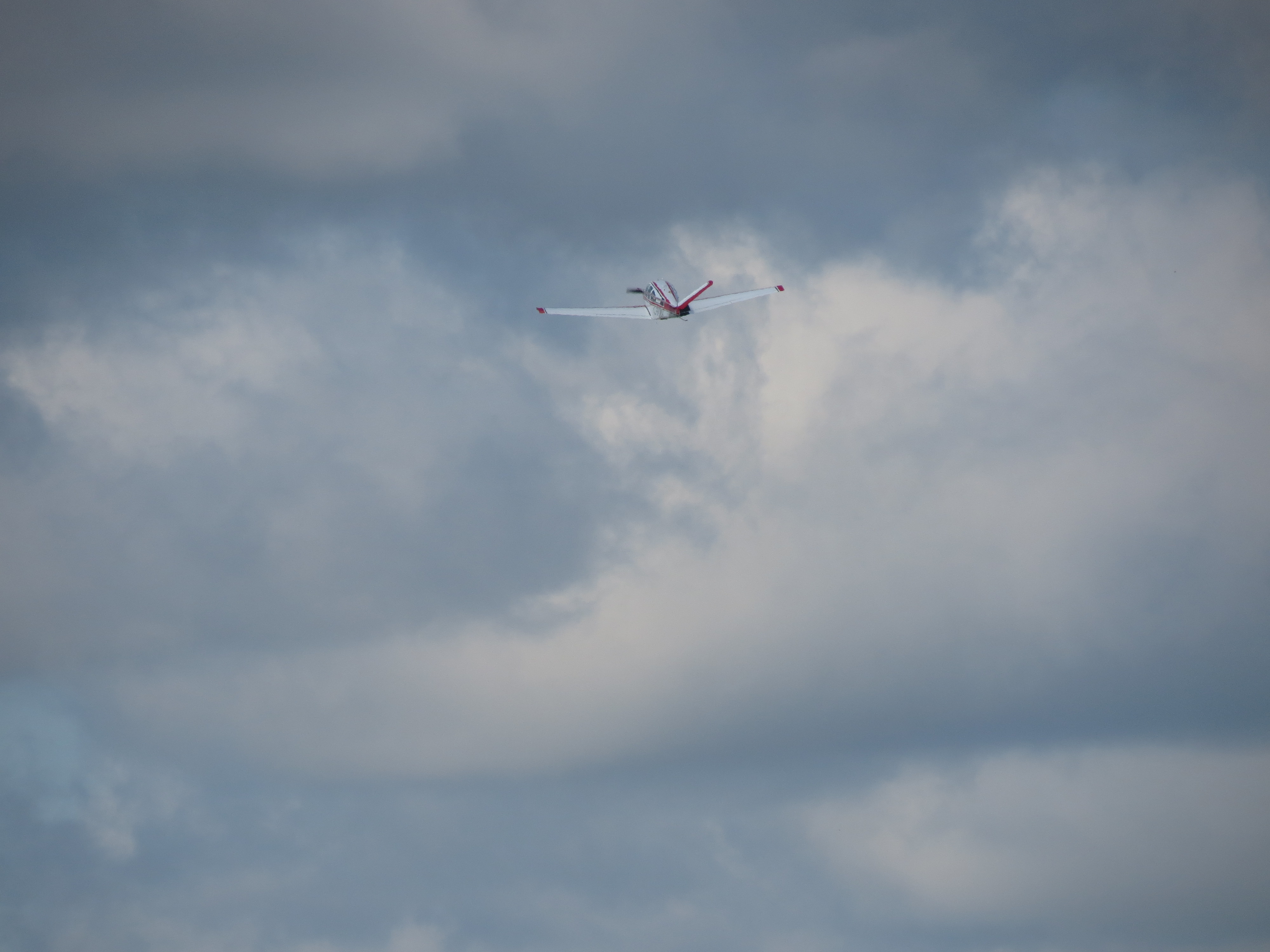
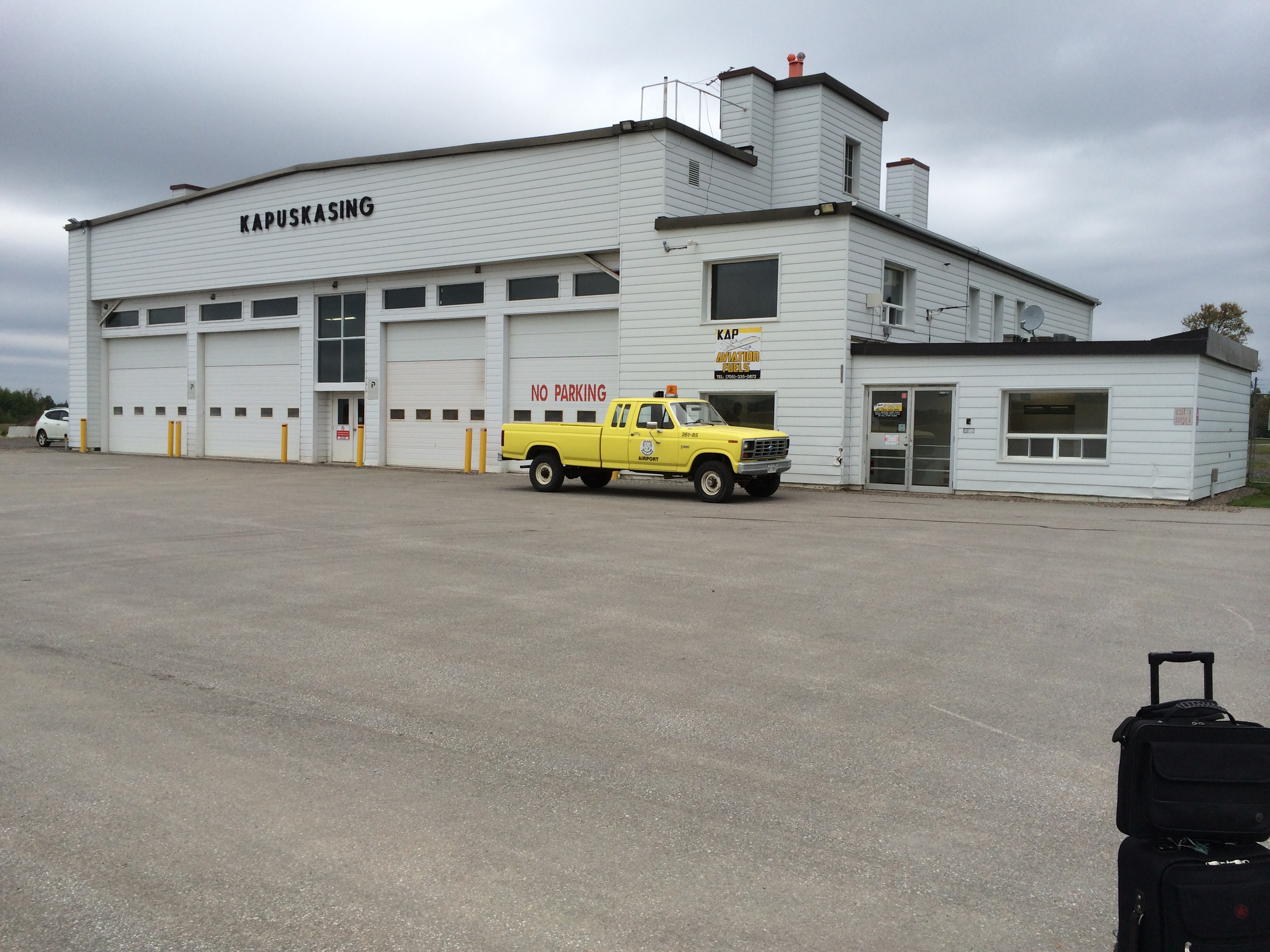
But there were no echos from the past. The hangar has been insulated and re-sided and is now used for vehicle maintenance. The lack of echoes may also have been brought on by the silence of the airport. The only aircraft movement I saw beside my own was an Ontario Hydro One helicopter which made an approach to the ramp in front of the Terminal and hover-taxied over to the gas pumps. I talked to some of the guys on board. They were going home from their job surveying for a new line. The runway was unused, except for me and the airport truck scaring off birds. When I left Sunday morning I was the only soul abroad, except for the birds. I backtracked runway 35 in the rain like a crazy man, weaving back and forth to scare them off.

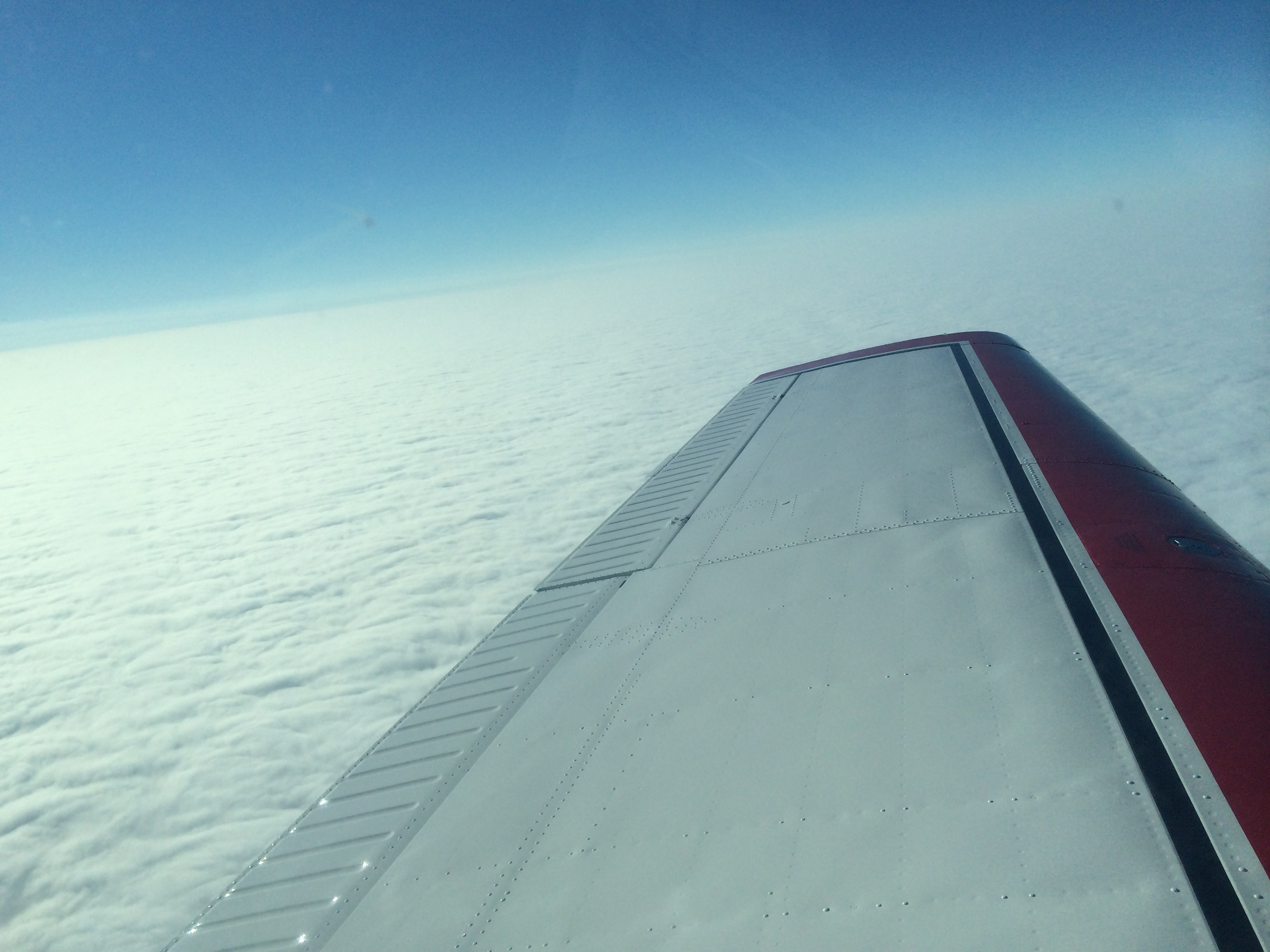
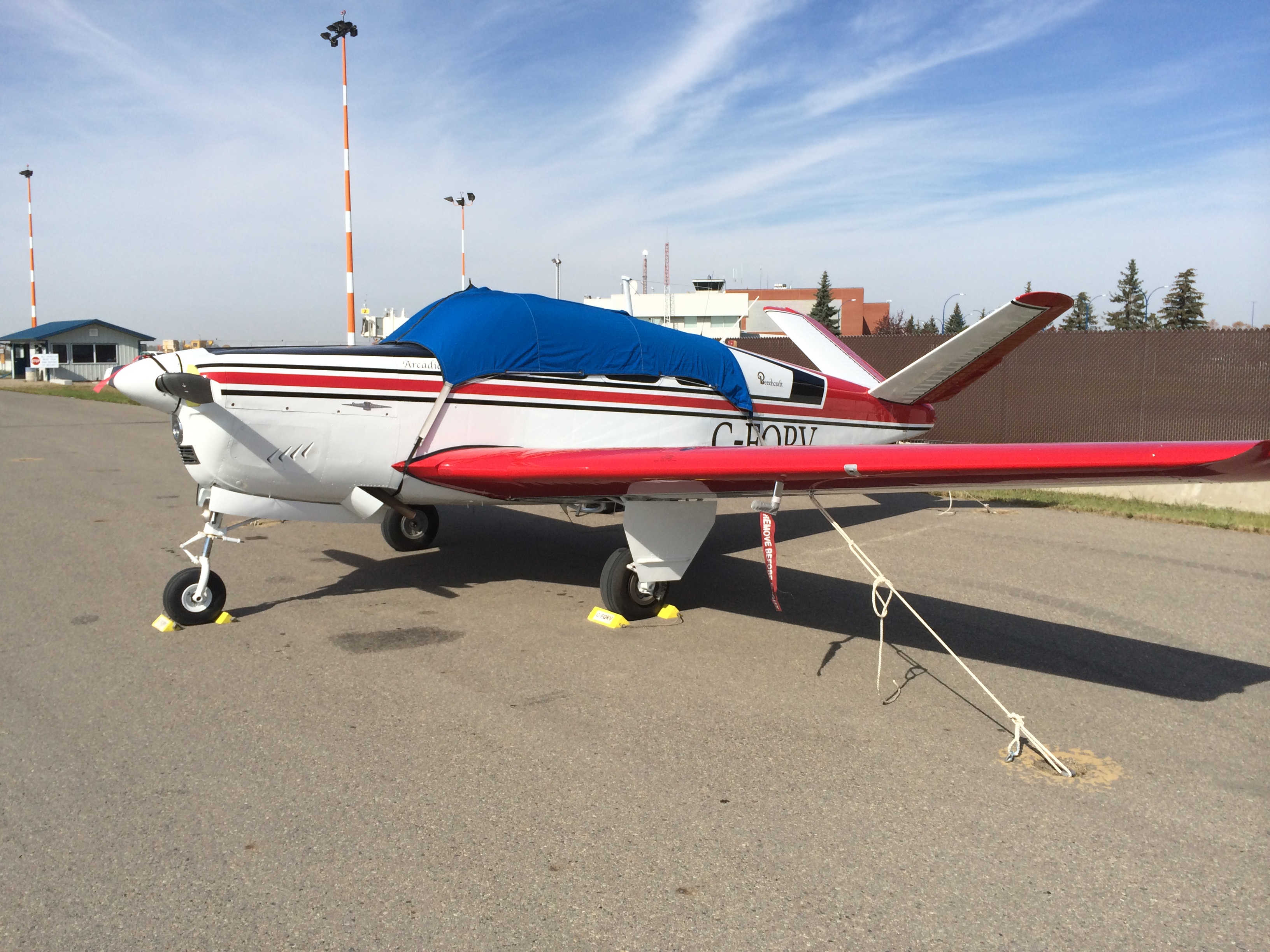
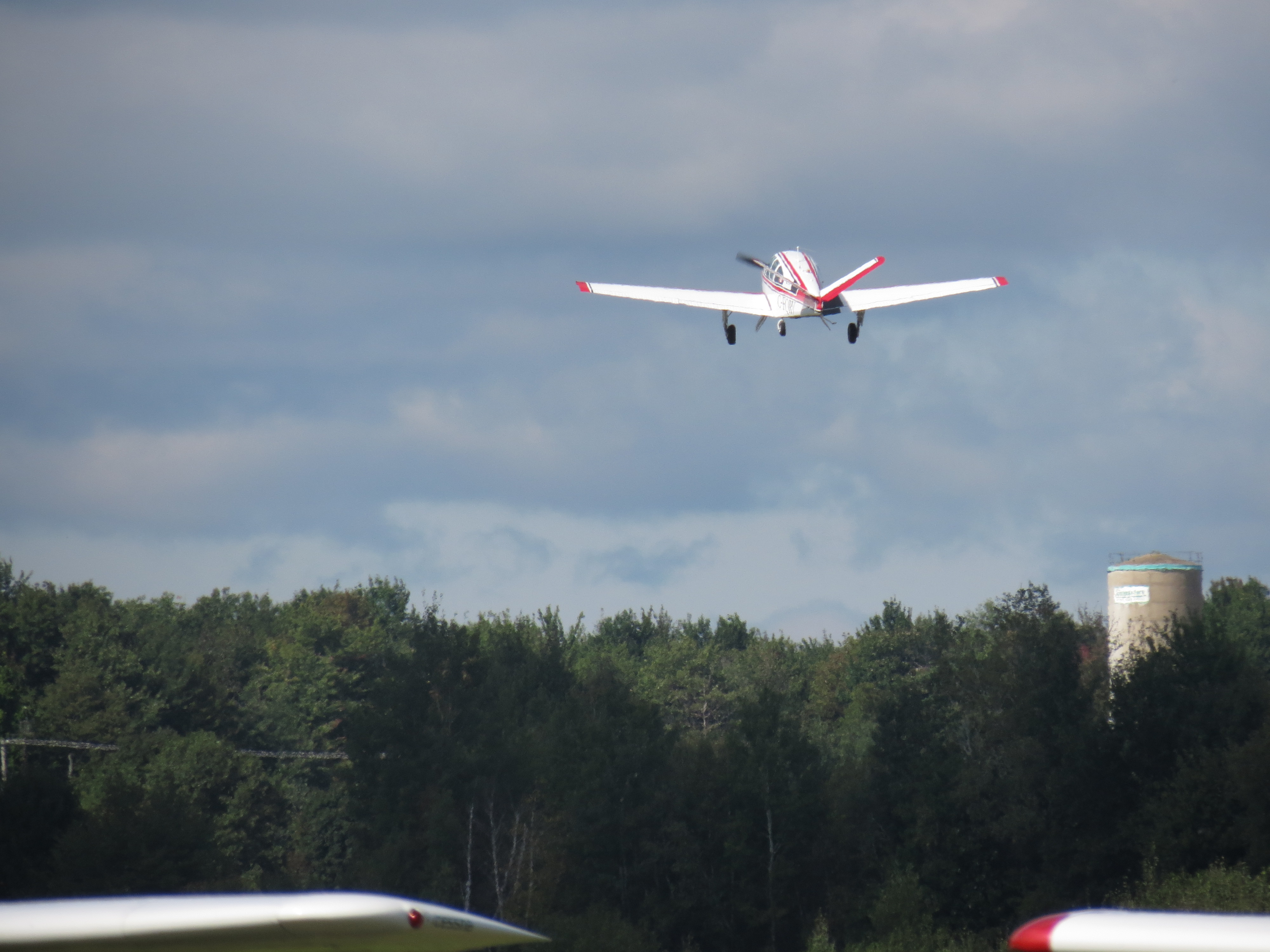
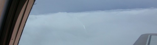
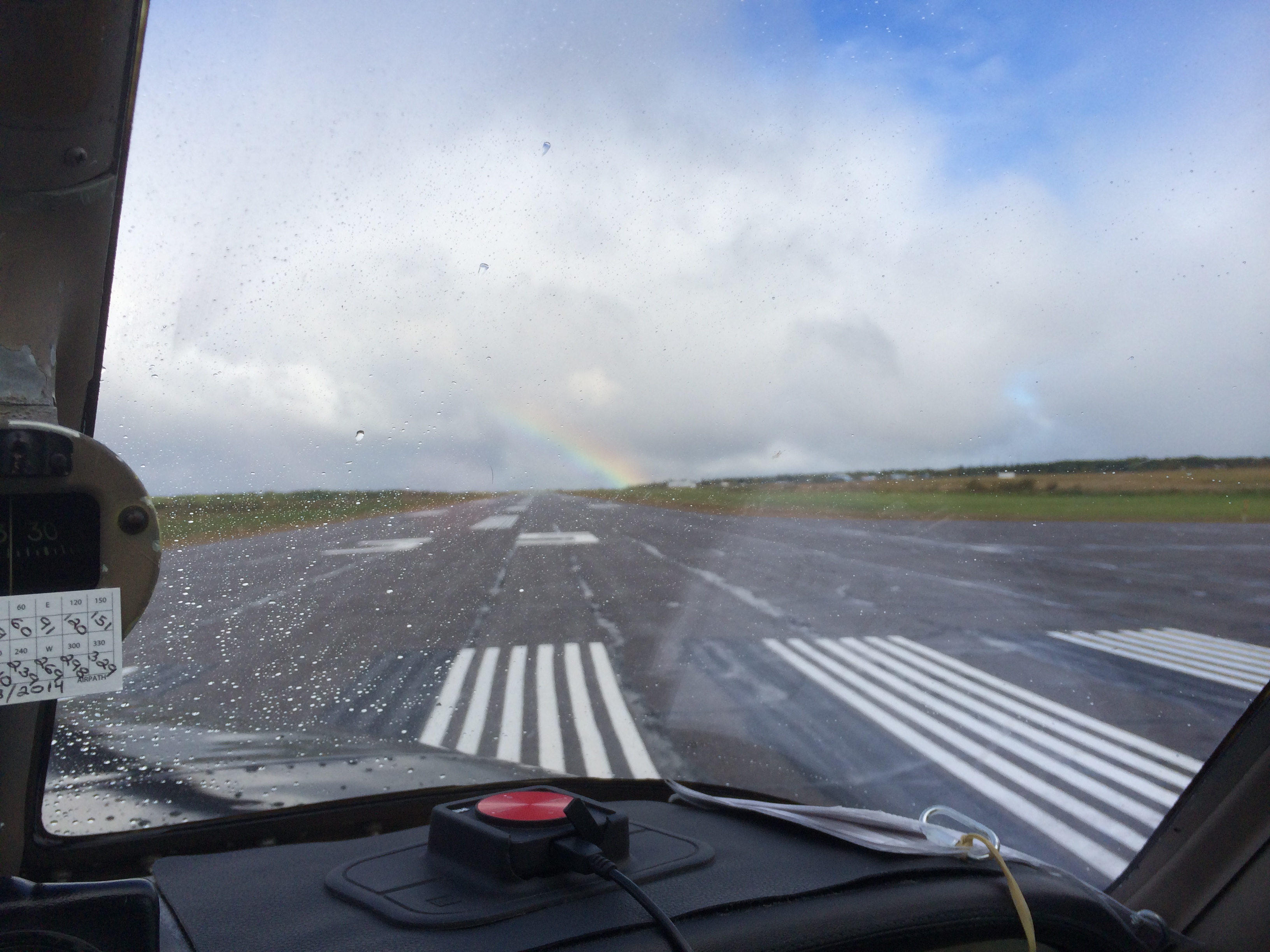
But there was a rainbow for the takeoff run.

IMG_0106
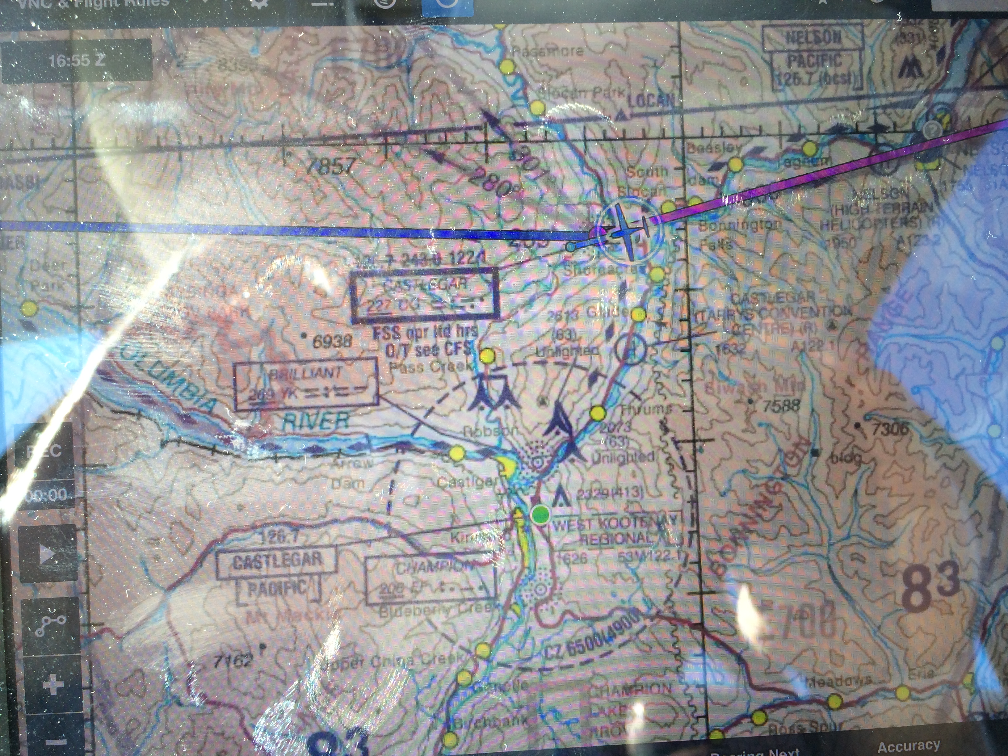
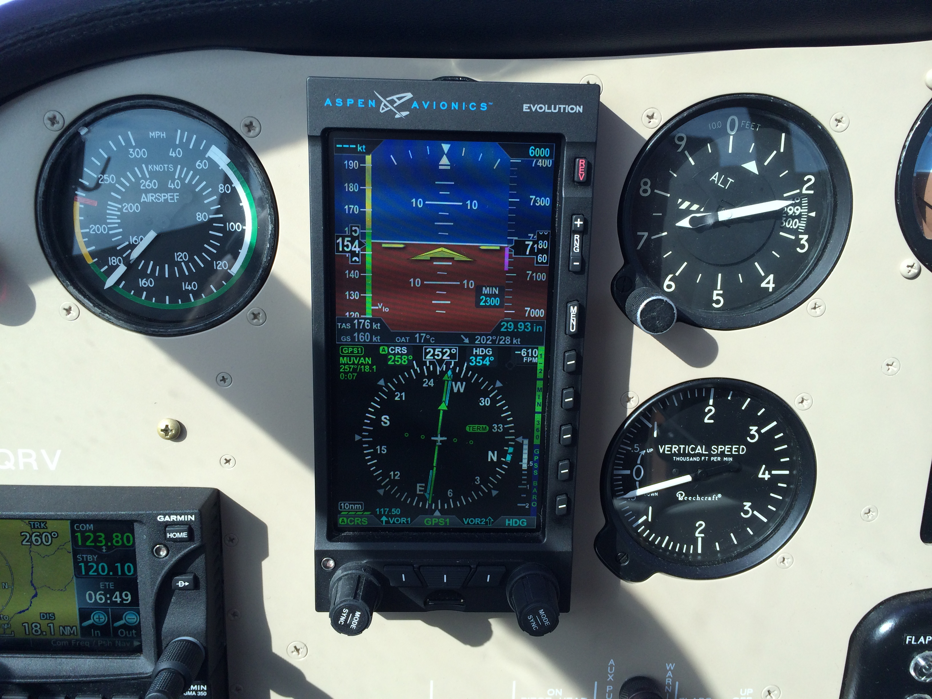
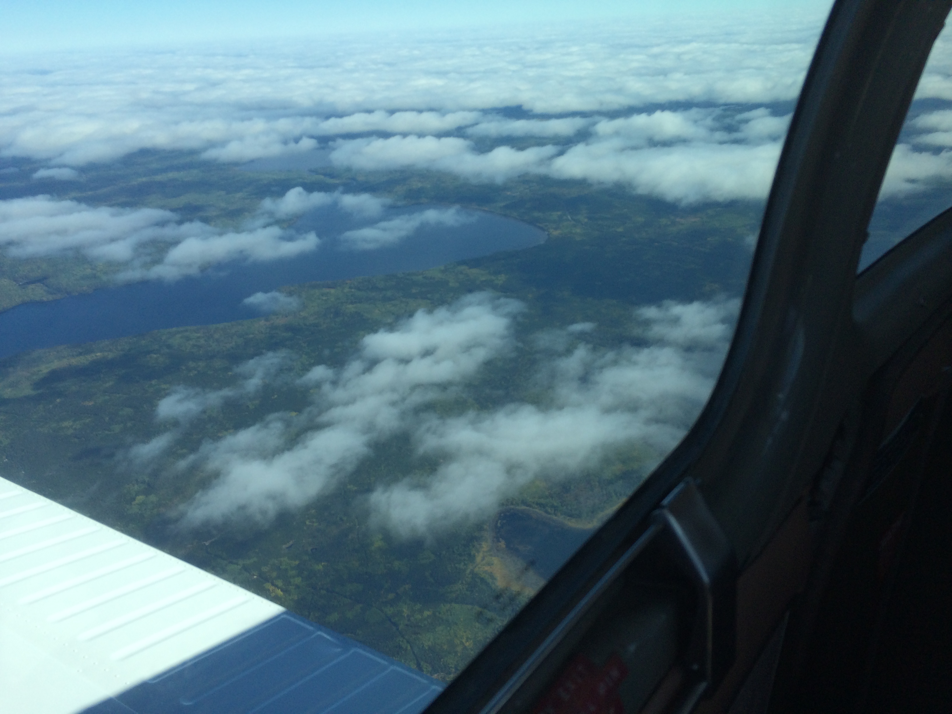
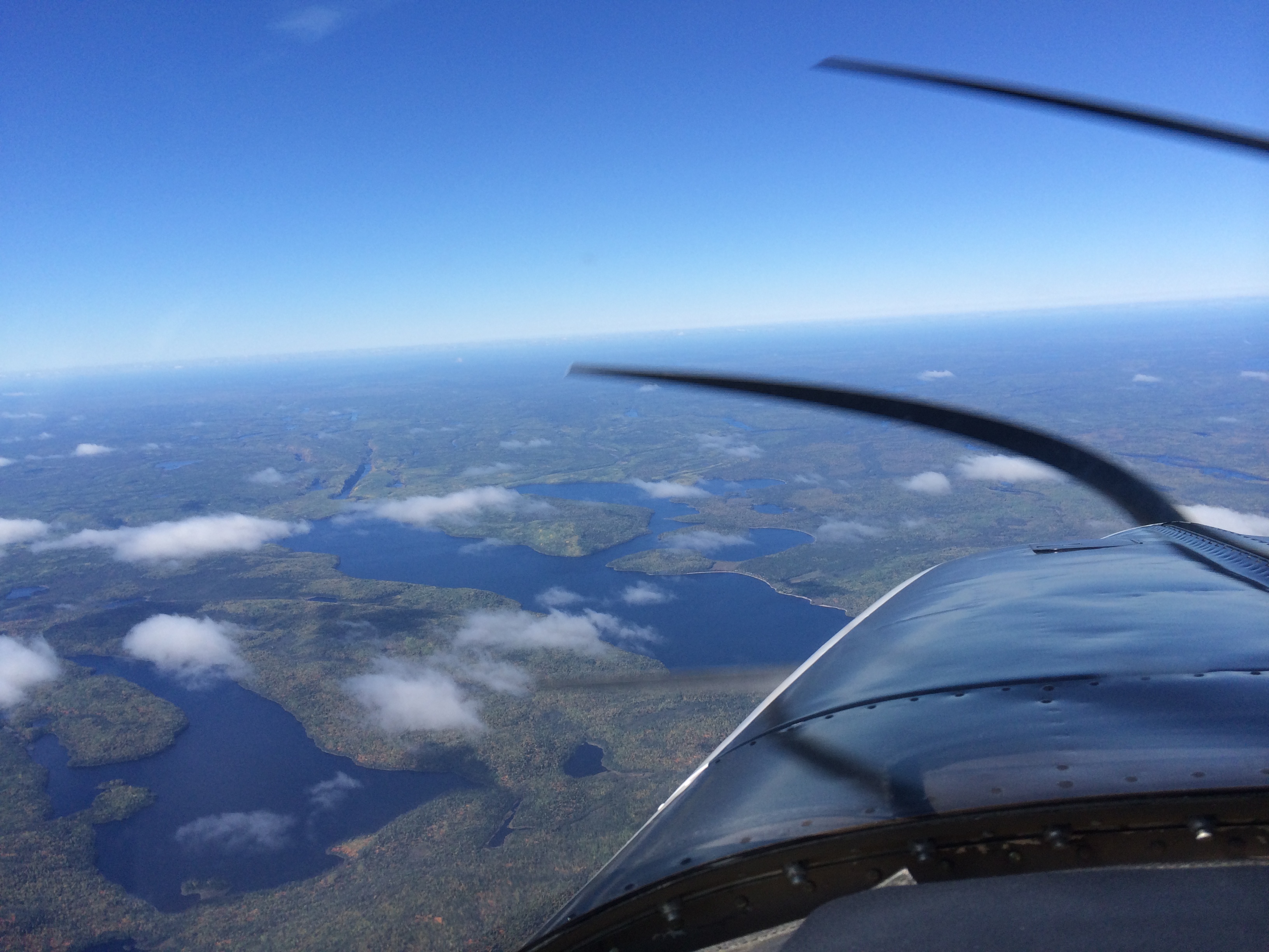
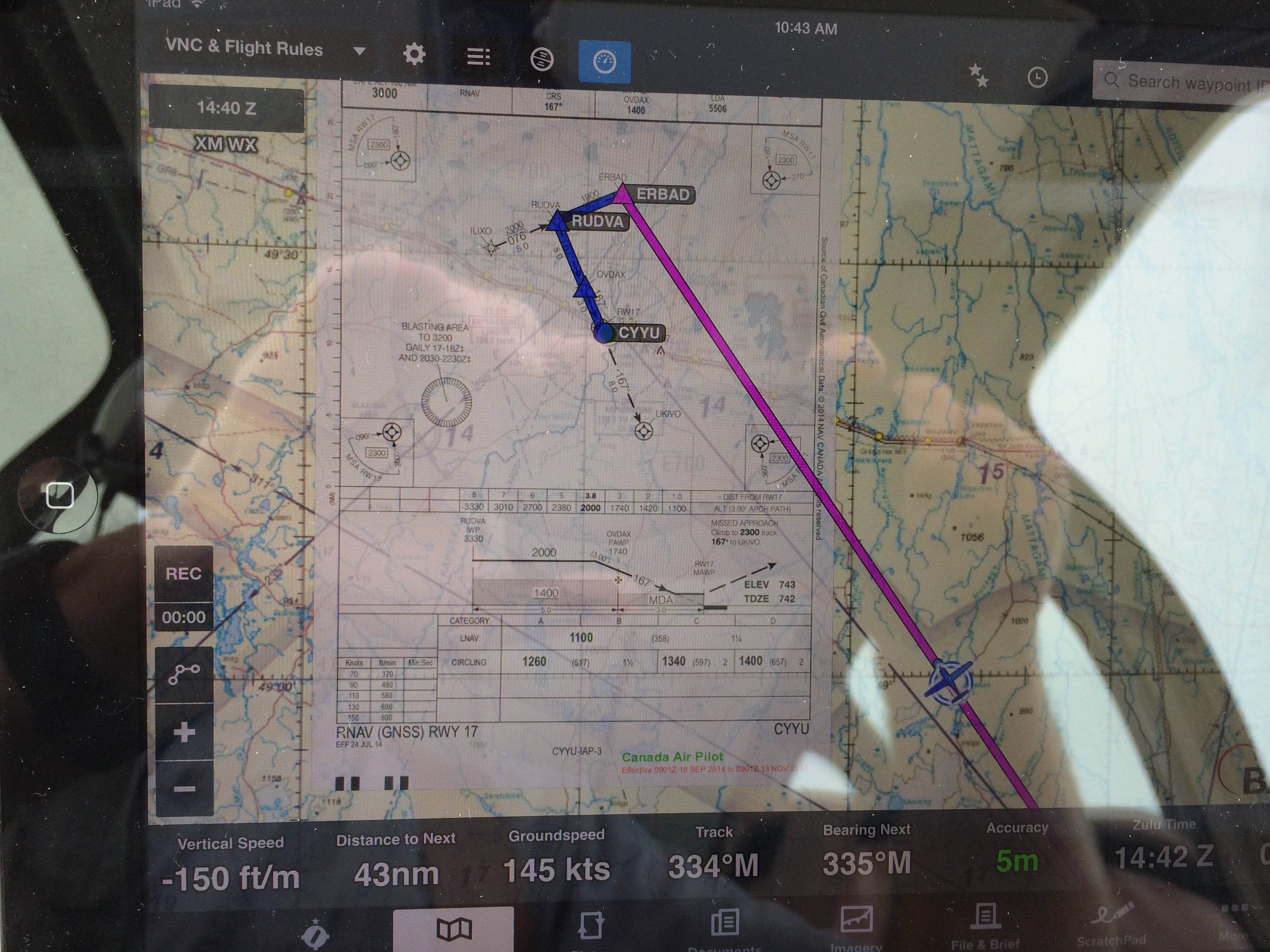
Sunday was the longest flight of the re-enactment: Kapuskasing to Winnipeg: 577 nautical miles; about four hours. I wanted to do it in one leg like the 1939 flight. But I also wanted to get there in time for the 2:30 pm tour at the Western Canada Aviation Museum.

I was late, but I caught up with the tour. Gerry Suski, the tour guide, brought each exhibit to life with his enthusiasm. And as I belatedly realized, we were walking around inside one of those original Trans Canada Air Lines hangars.

IMG_0174
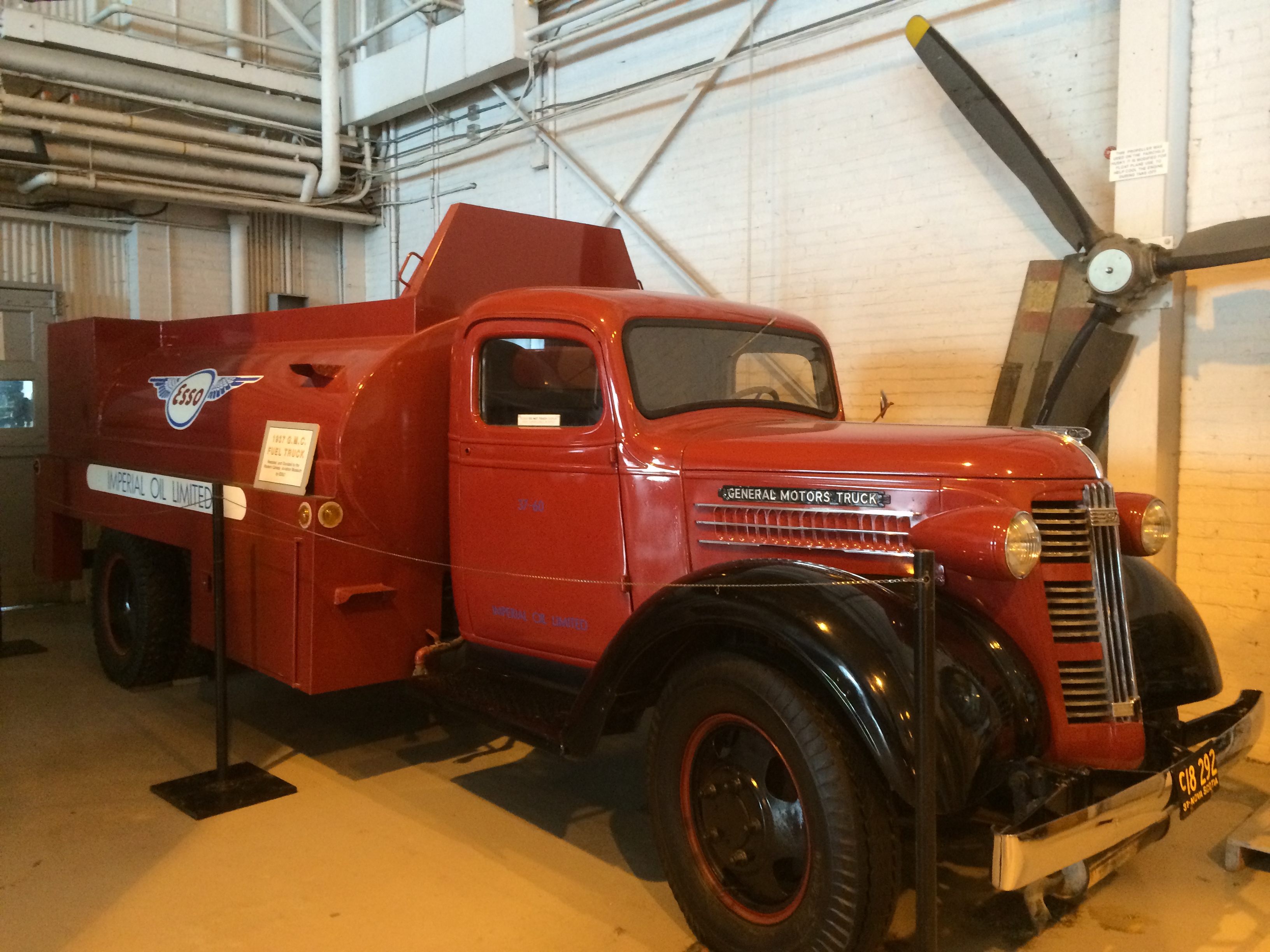
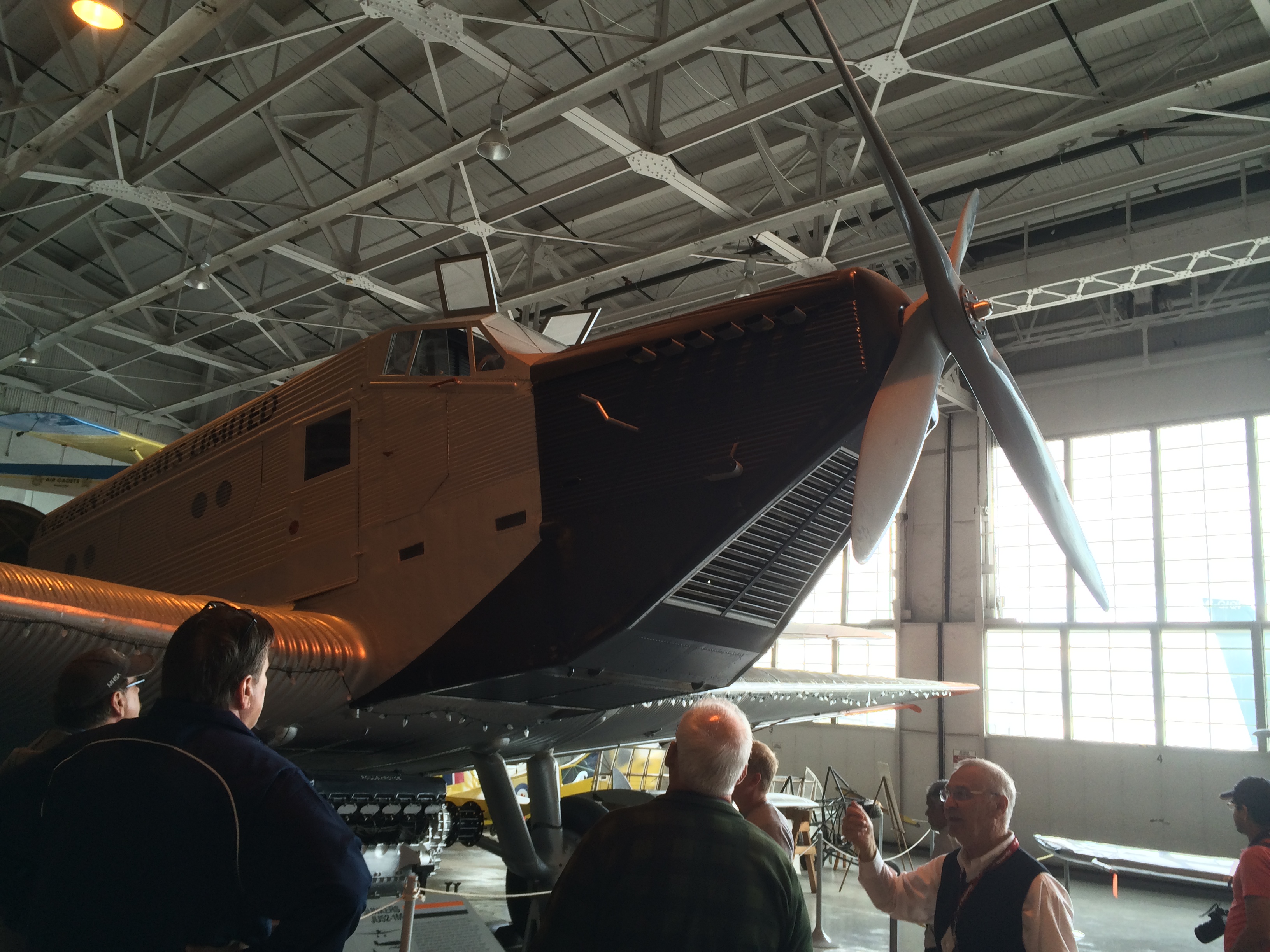
Here's Gerry talking about the Junkers JU-52-1M. (Gerry is bottom right, with the red pass lanyard around his neck.) It was as I took this photo that I realized that not only the exhibits were history. The beams overhead are joined with riveted gusset plates. Those hangar doors are a work of art. The flight I am re-enacting taxied up and shut down right out there, outside those doors. Parked over by the door to the restoration shop is the fuel truck that most likely fueled the 1939 Lockheed 10A.

IMG_0209In the bookstore I bought both of Shirley Render's books. Shirley has been a Manitoba MNA and is now Director of the museum. Her book Doublecross details a huge chunk of Canadian aviation history of which I was completely unaware. James A. Richardson (the new CYWG terminal building is named after him) founded Western Canada Airways in 1927. He was a visionary, talking about over the pole flights to Europe. In 1930! The Bennett government (and later the Mackenzie King government) had anointed him as the go-to man for a national airline. But both governments dithered and delayed. Then in 1937 C.D. Howe, the new Minister of Transport, founded Trans Canada Air Lines as the national carrier. Richardson died of a heart attack in 1939 at the age of 54. Or perhaps it was a broken heart. In any event, the age of the deal sealed by a handshake was already dying.

I had always admired C.D. Howe's (the Minister of Everything) energy and vision. Reading  Doublecross was like finding out Bach and Beethoven were cantankerous. No, it was more like reading how Richard Wagner, the composer if the Ring Cycle, was anti-semetic and a complete jerk.

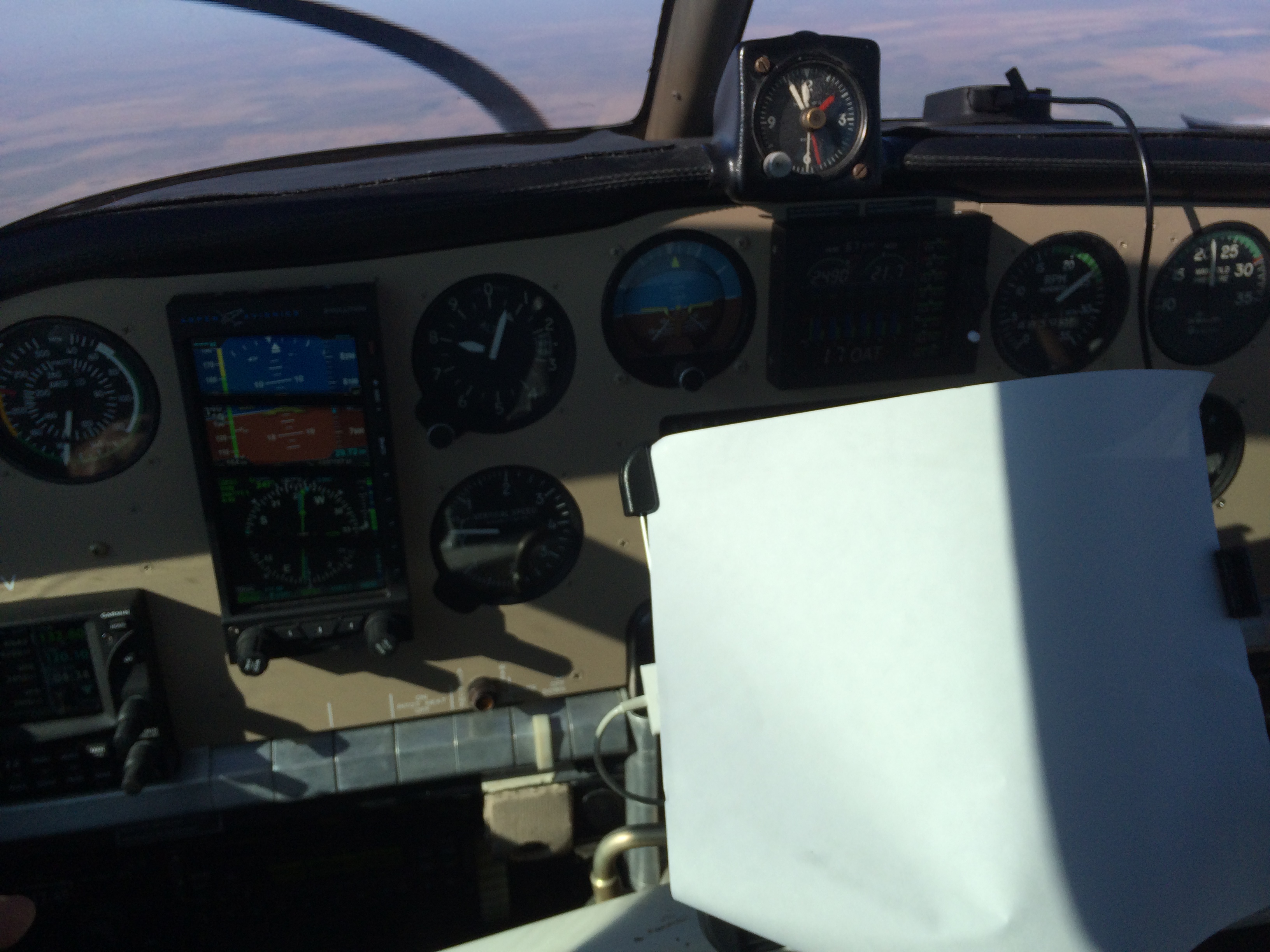
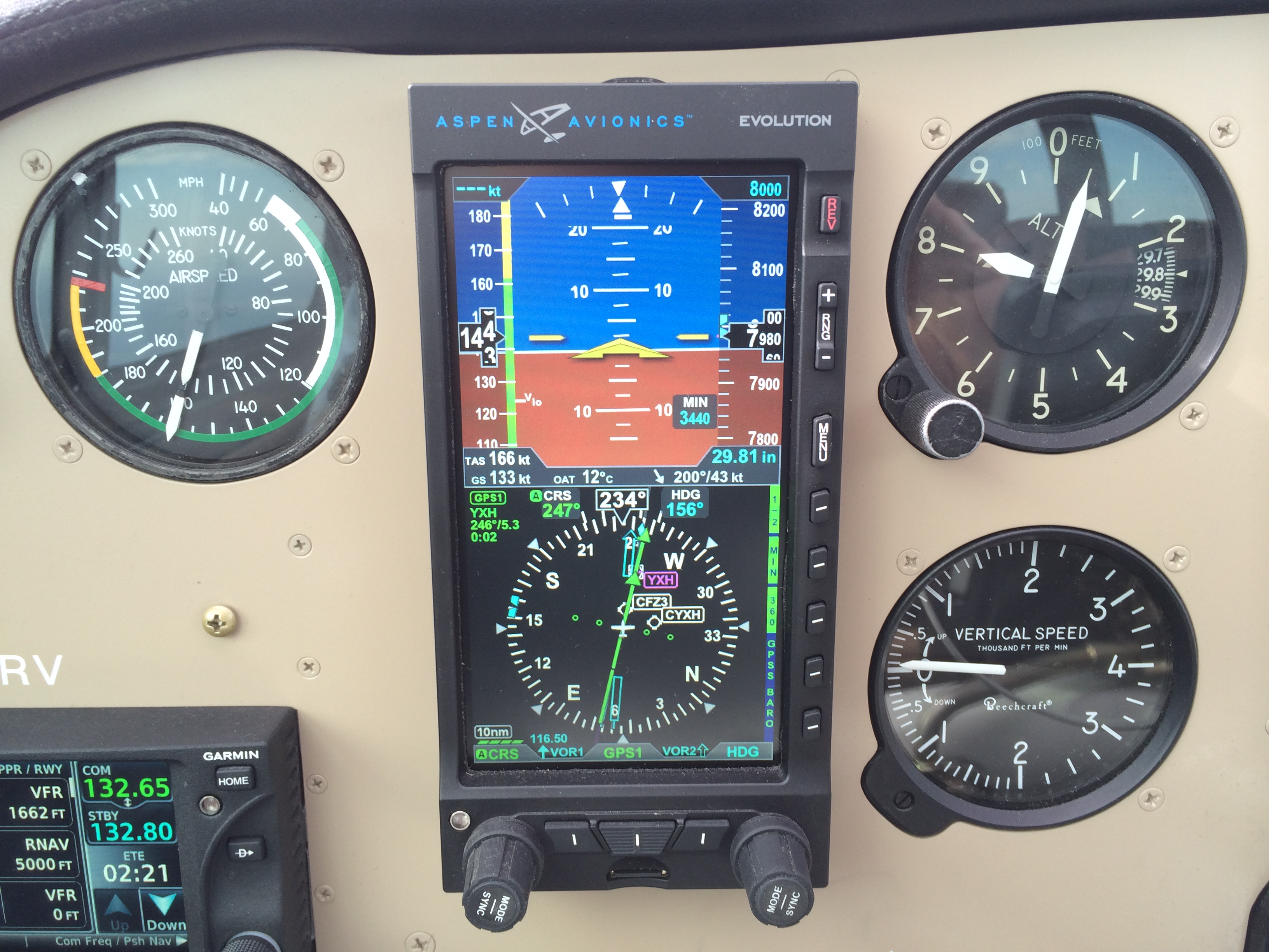
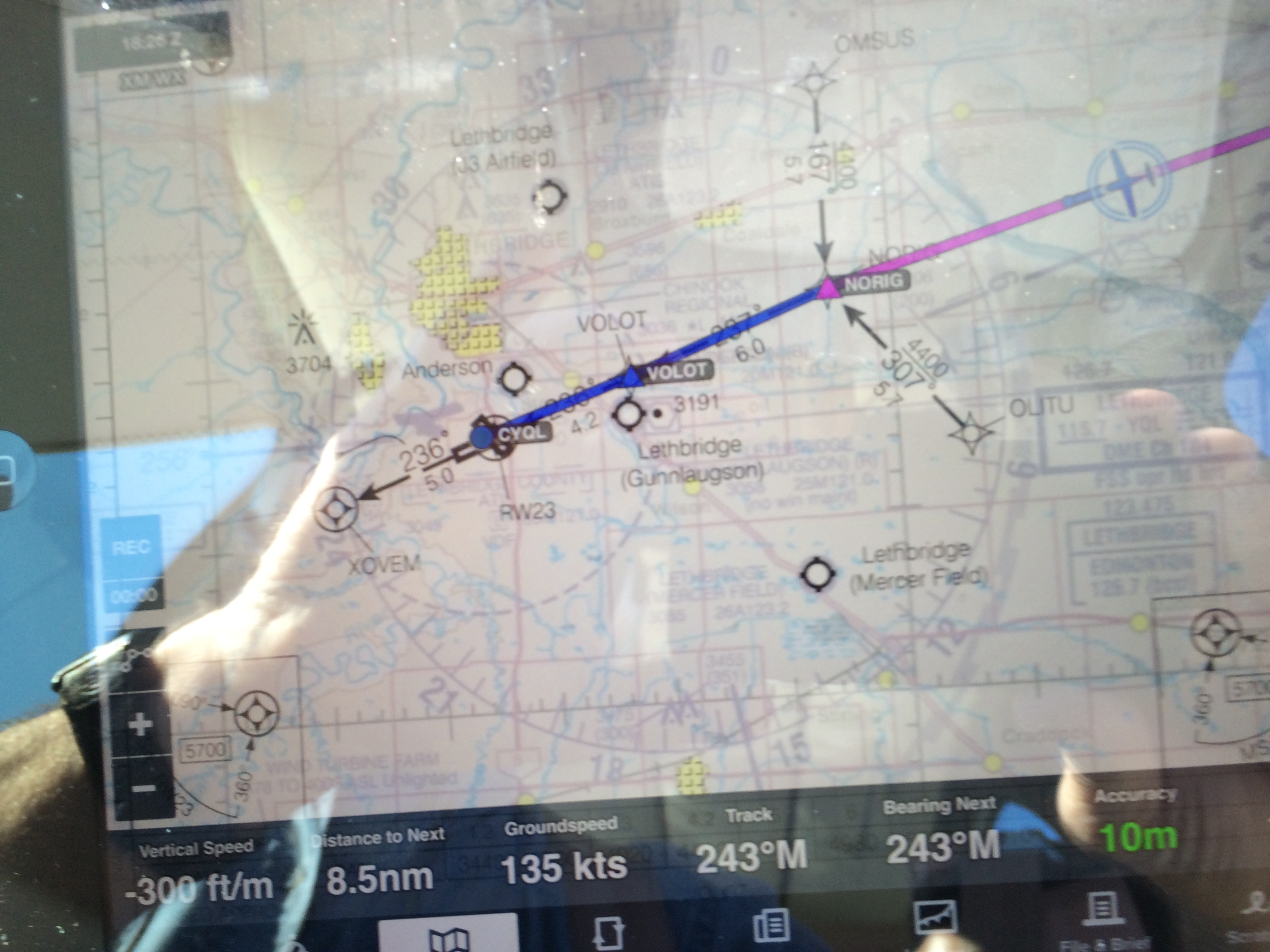
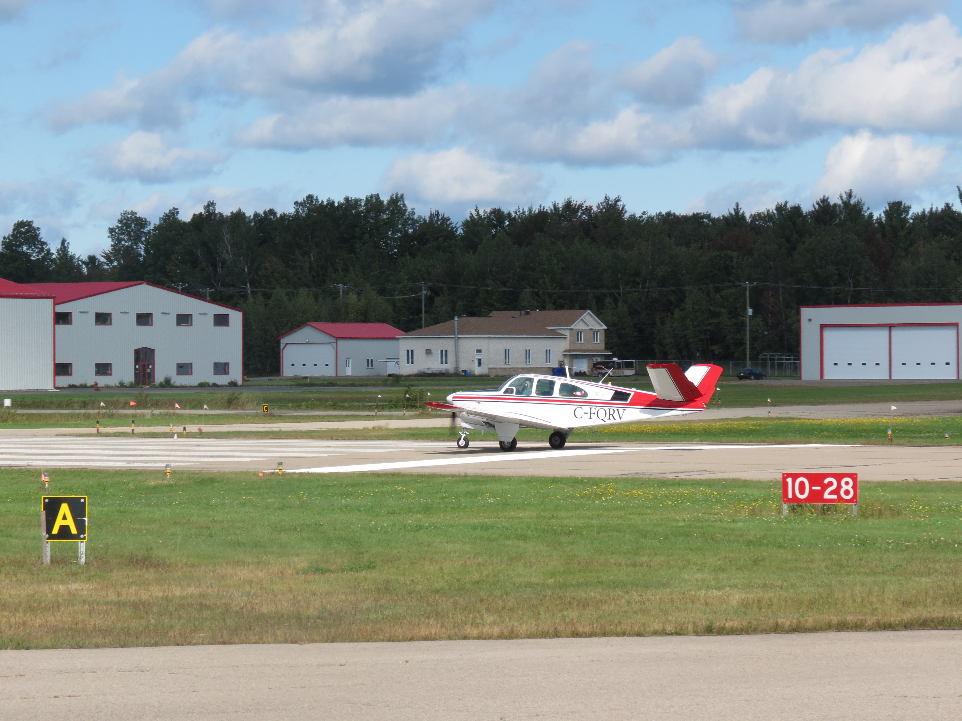
It felt good to be flying again. Wednesday I flew to Regina, and Friday to Lethbridge. There a wonderful surprise awaited: another of the original TCA hangars, this one in pristine condition.IMG_0380

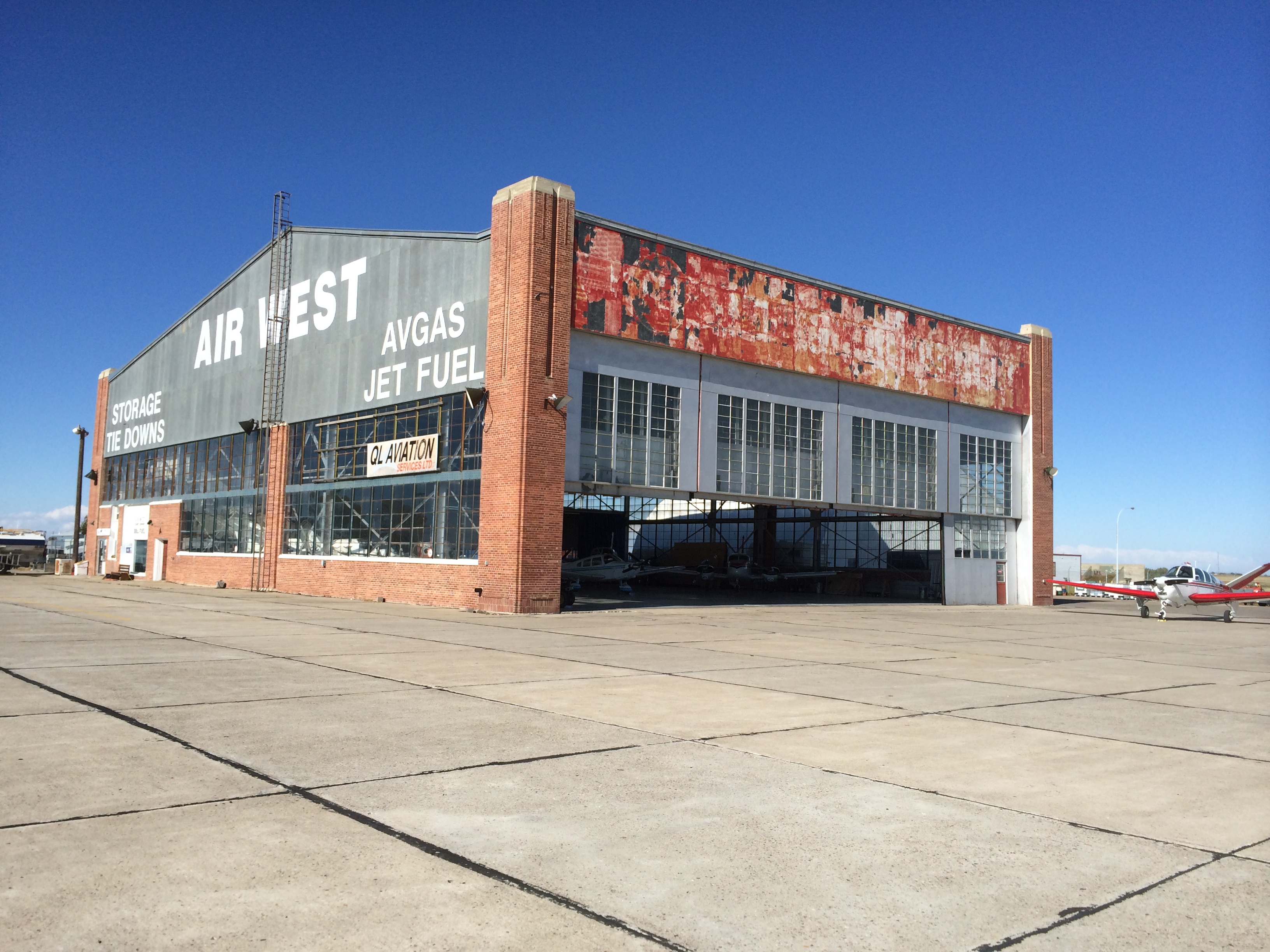
I had spoken with Geoff Price on the phone the day before to arrange for an oil change. It turns out Geoff is the owner of this beautiful hangar. He has owned it twice, in fact. He bought it in 1986; sold it in 1988. Then he bought it again in 1993. Fortunately for all of us, it has been declared a heritage site, unlike its cousin in Winnipeg, which has been sold to Calm Air. (The Western Canada Aviation Museum will move to a new facility contiguous with the airport terminal.)

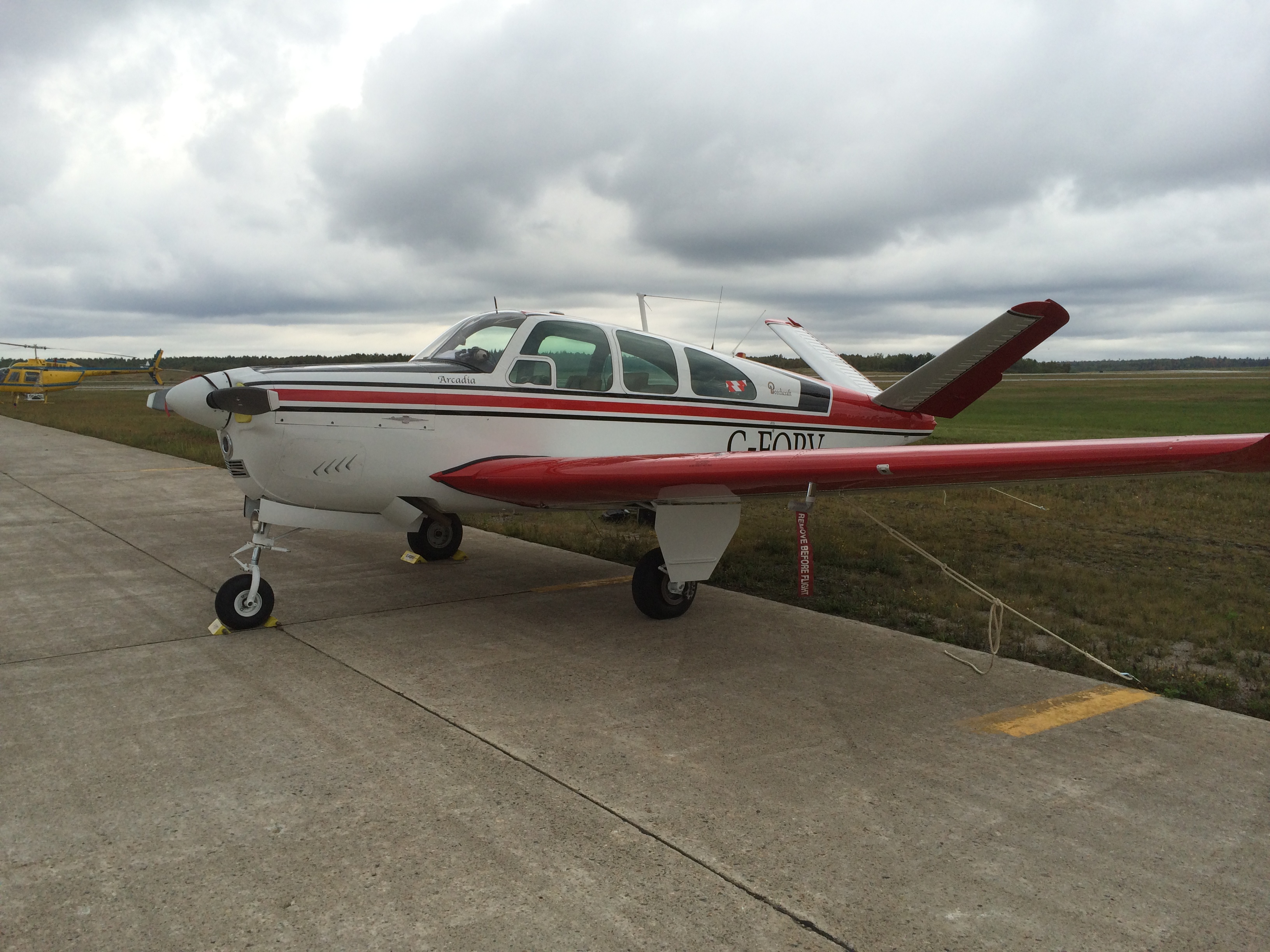
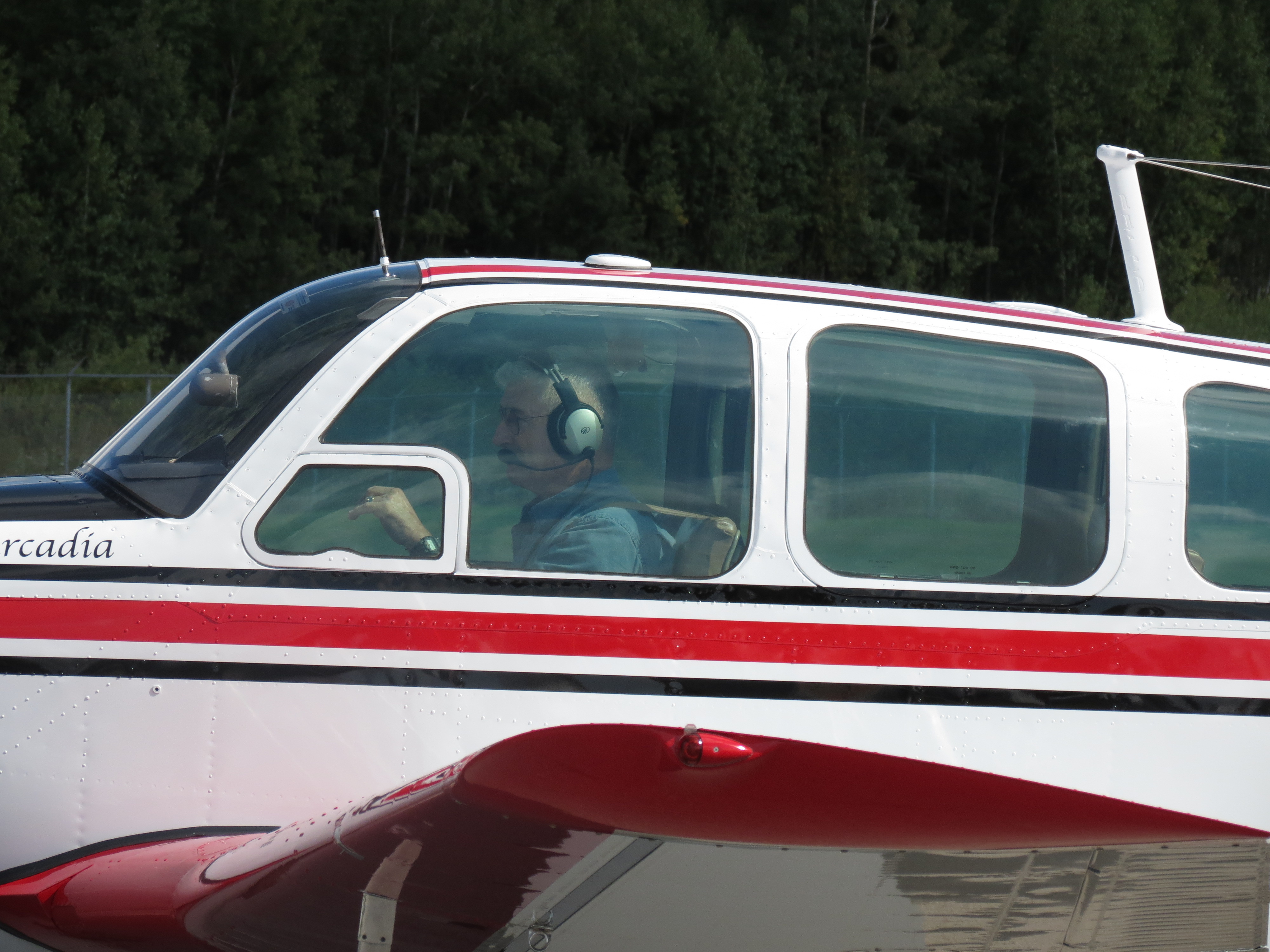
Geoff came out to the ramp to meet me and immediately arranged to have the Bonanza pulled inside. Here she is during the oil change. The mechanic is Bill Mehlen.IMG_0360
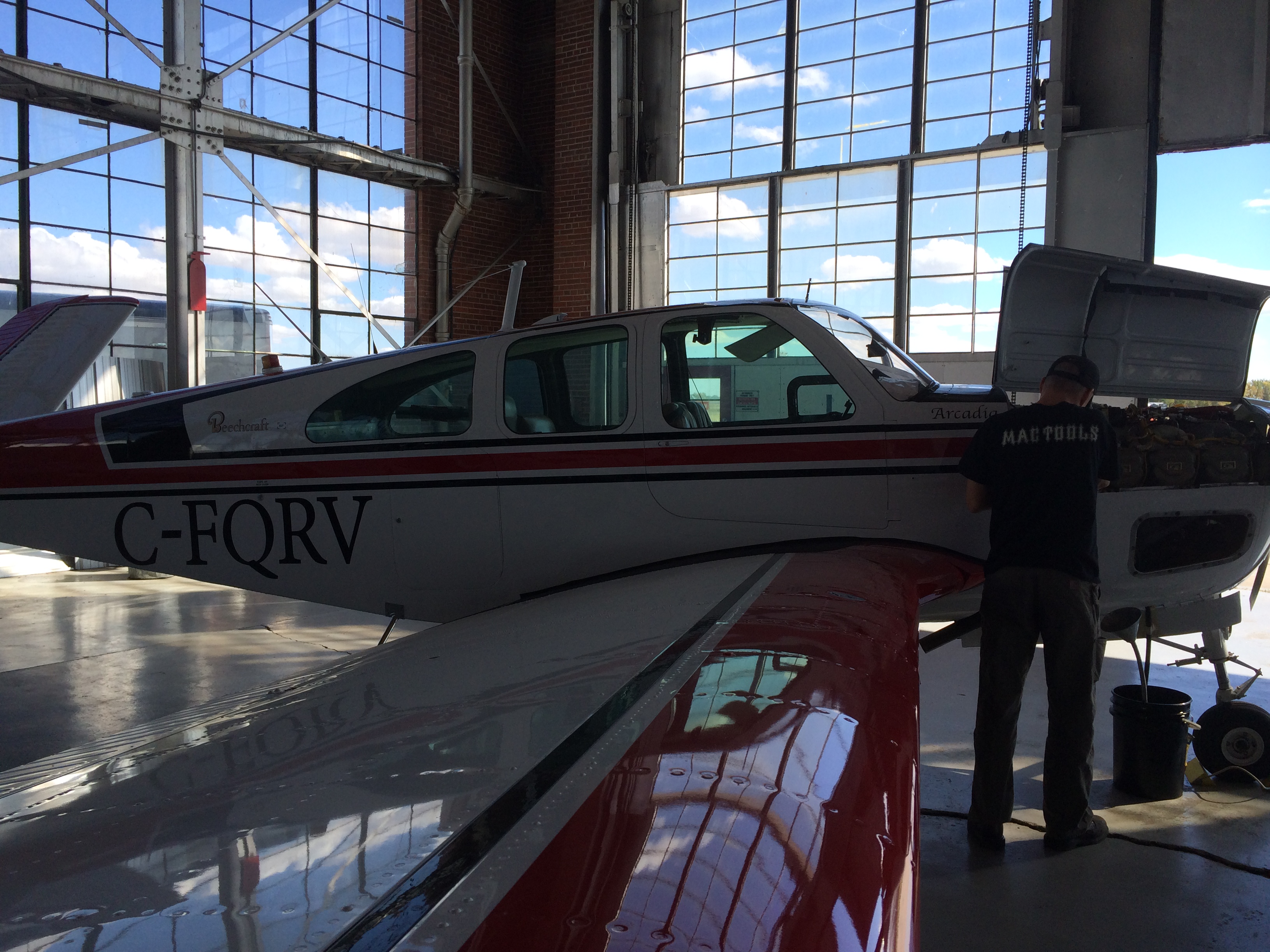
Geoff's hospitality was outstanding. Arcadia and I have never felt more at home. And Geoff can tell stories!

In the early days there was a control tower up there on the roof. See that black pipe up there where it comes down through the ceiling? That was the controllers' pee tube.

OK, look carefully at the floor. See there, near the middle? How there's a sort of shallow mound? That's where the fire pit was, when they were building this place. They would start the fire with oak wood, and when they got that going they'd add coal. Heat up those one-inch rivets cherry red. They wore big gauntlets. They'd grab a red-hot rivet and throw it up to the rafters, where one of the two guys up there would catch it. Then they'd fit it, buck it, and forge it in place in seconds, still red-hot.IMG_0370Yep, that's a lot of rivets.

B-26 firebomber used to live here. Then for awhile Brodeur owned the place. Canned beans and peas. Stored the cases of cans here. Place was full right up to the roof.

The hangar was built by Dominion Bridge. The doors? Built by Richards Wilcox, a company owned by Dominion Bridge. What? Yeah, they're unique. Let me show you. See, first the bottom half rises. Then if you need full height . . .IMG_0383. . . OK, yeah – there's the motor. And the transmission. See how it drives two output shafts? The lower shaft lifts the bottom half of the door with those chains. Then the top shaft tilts the whole assembly up using those lever arms.IMG_0595
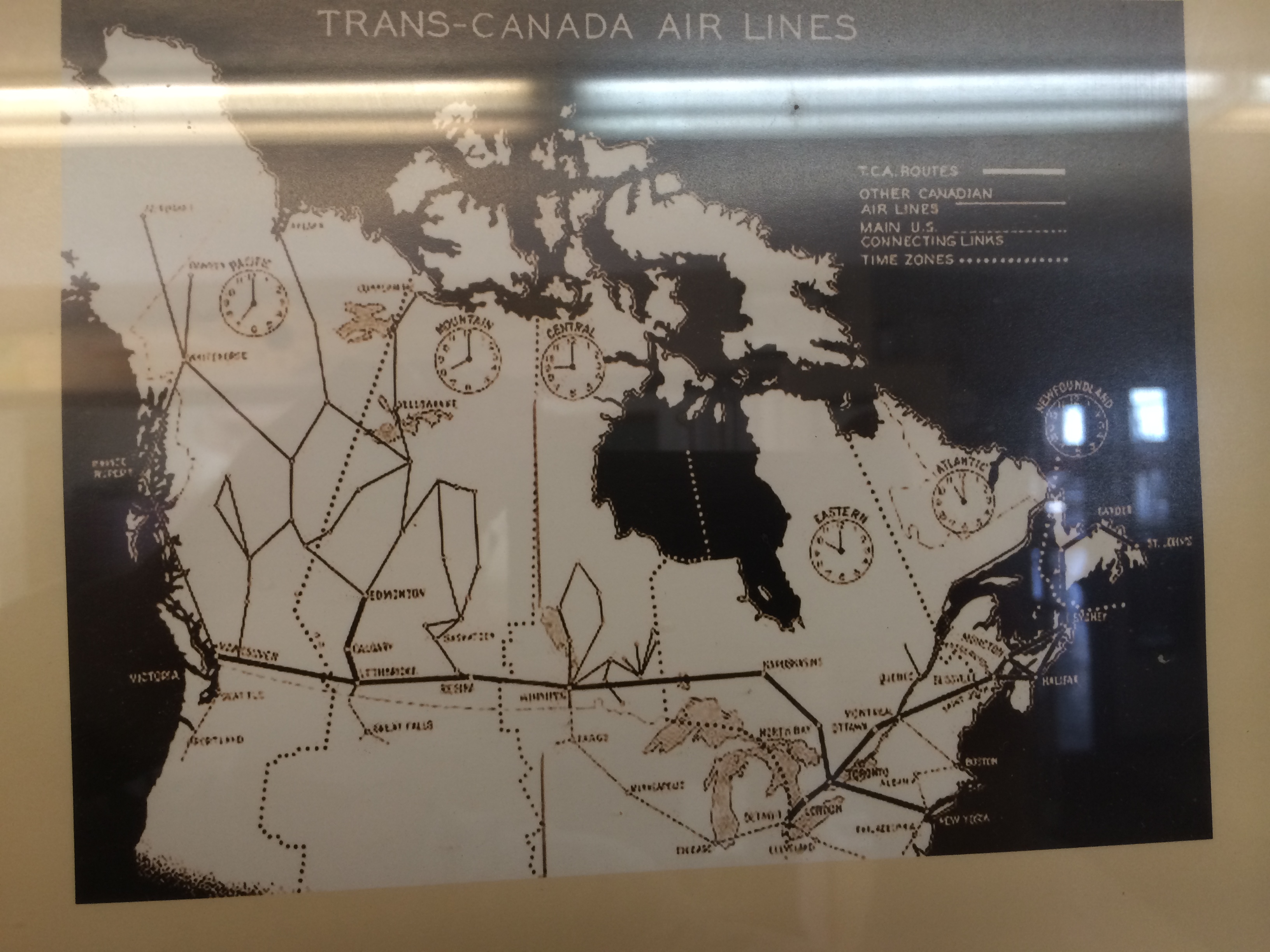
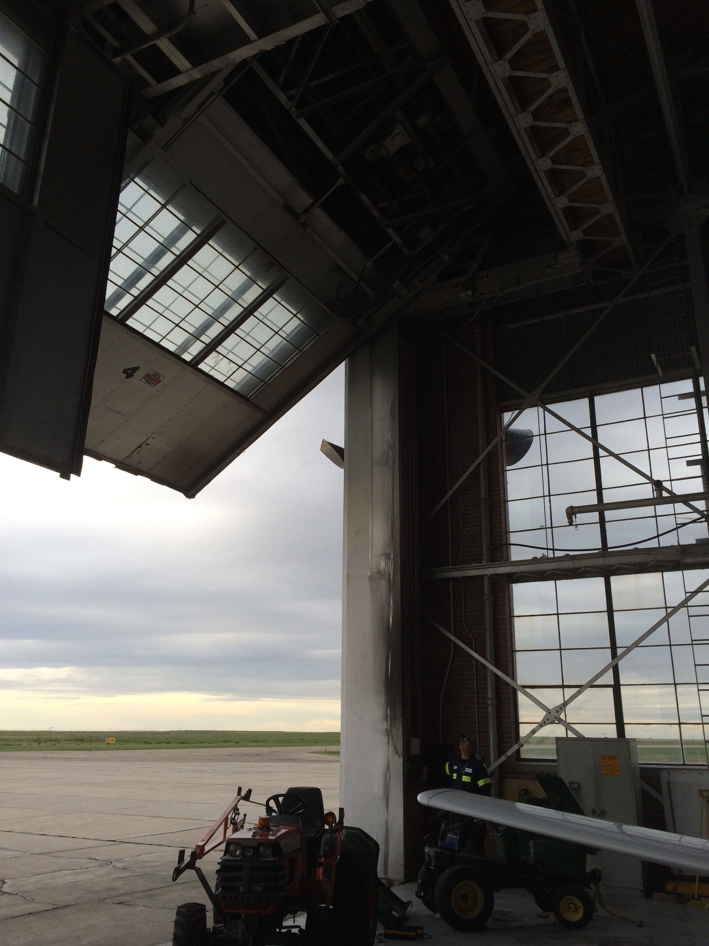
Come see some of the pictures. There's TCA's route structure in 1939. And here's the history of the four airports. See that little photo in the middle? That's this hangar in 1939, when TCA owned it.IMG_0355
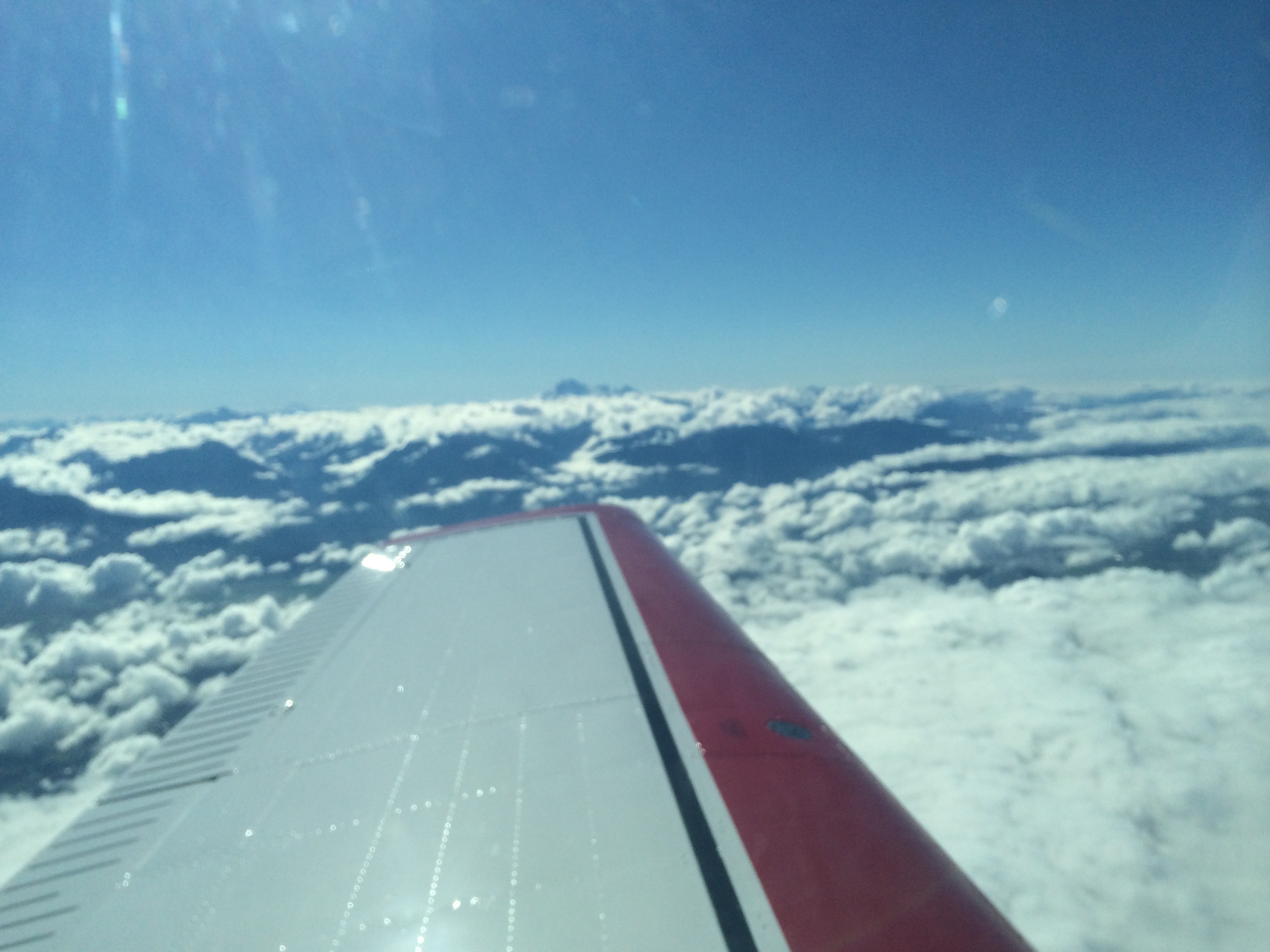
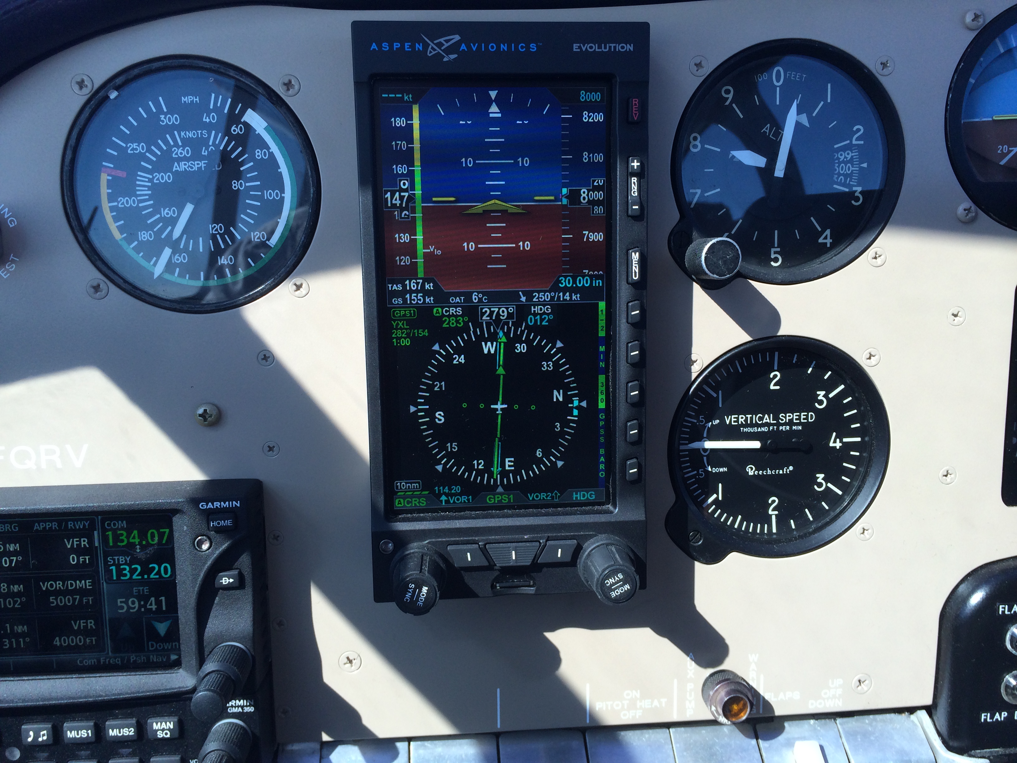
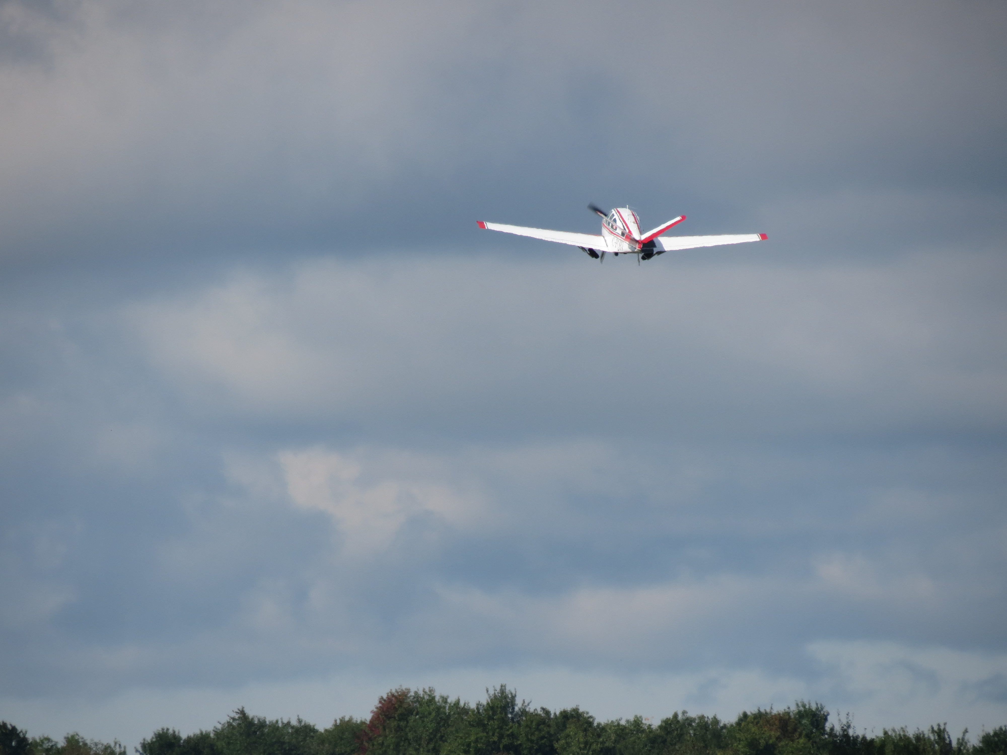
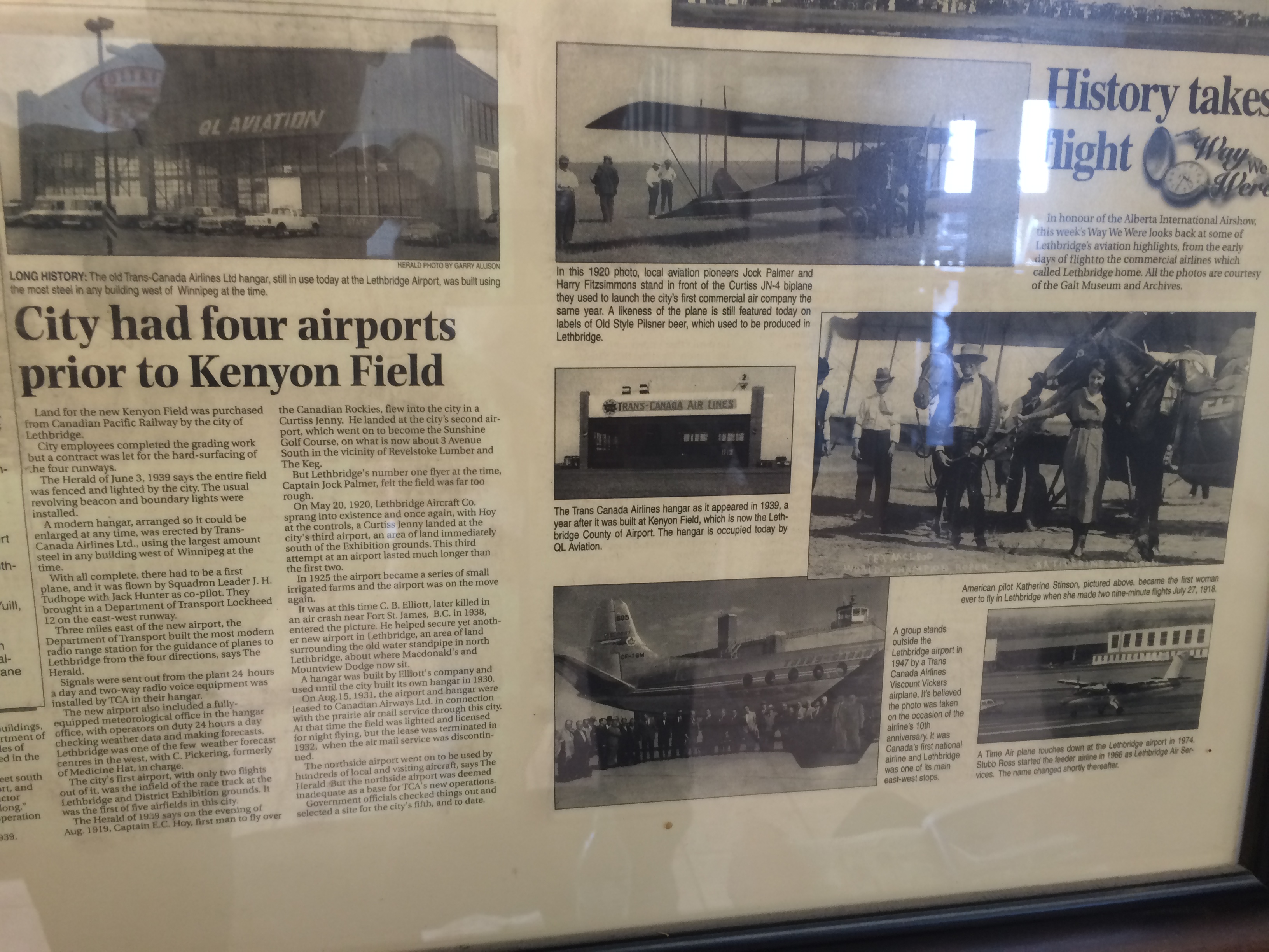
Saturday I flew the last leg to Vancouver. It was like flying through a time-tunnel.

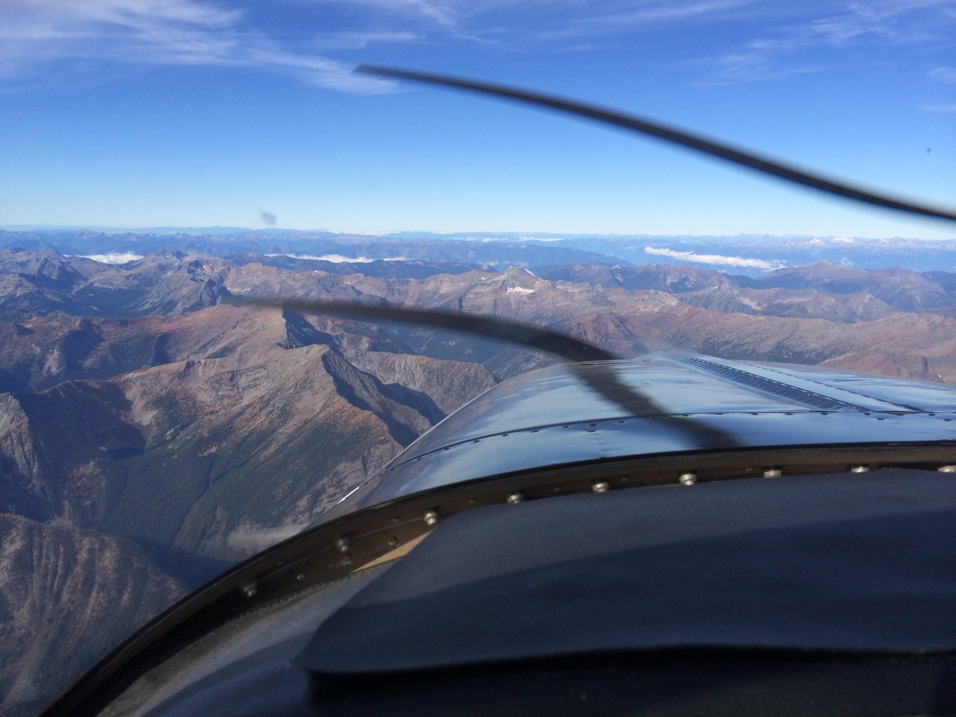
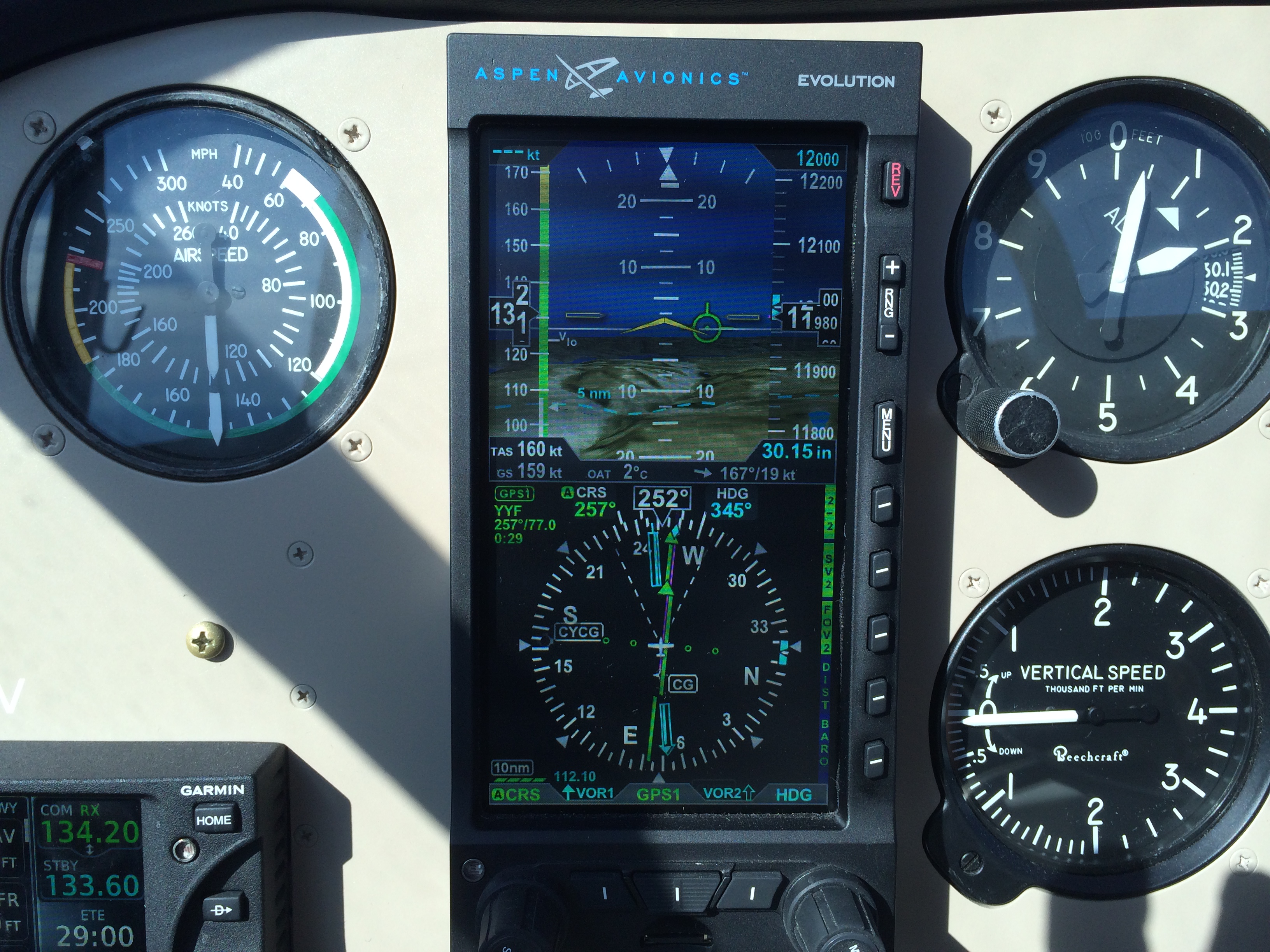
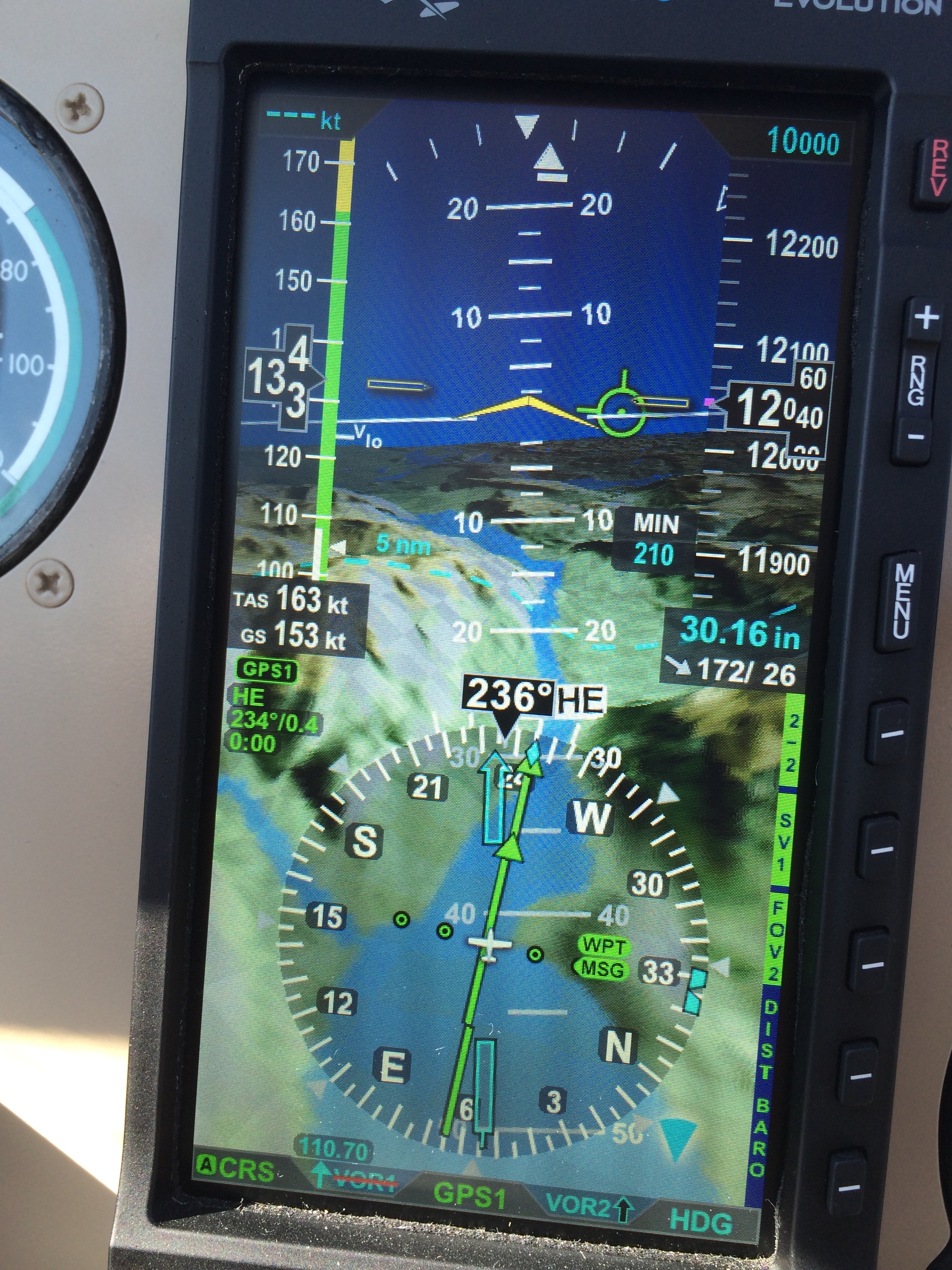
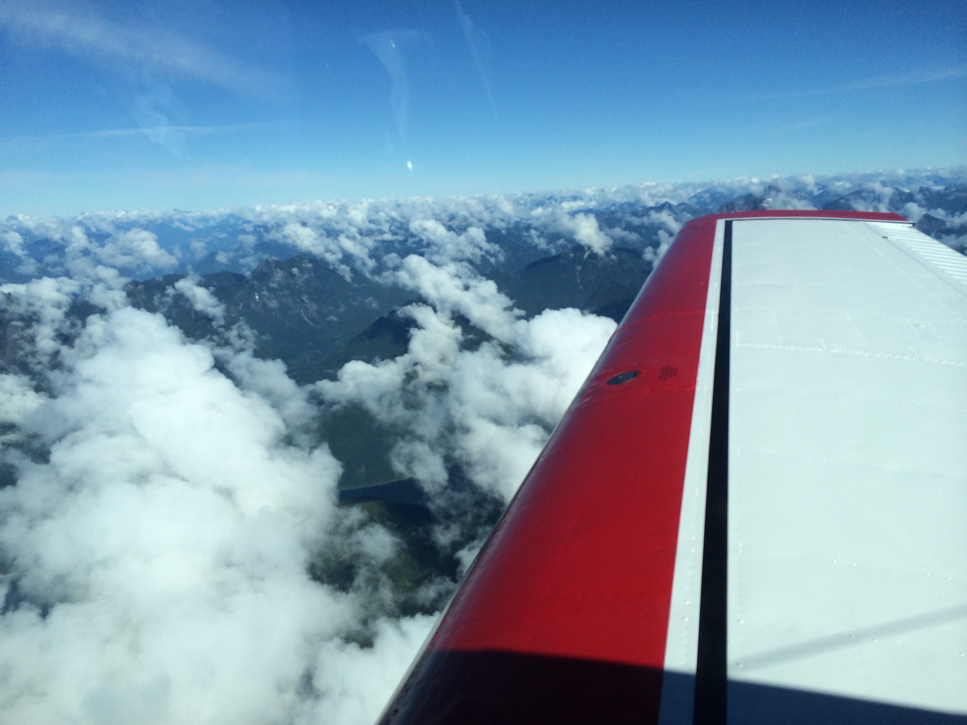
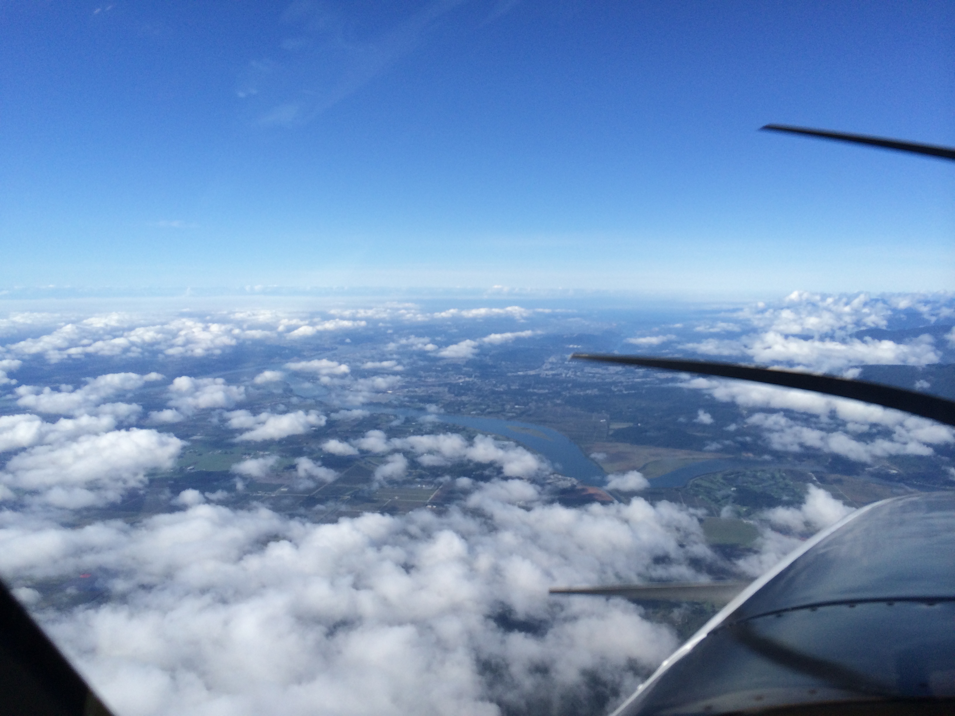
In Lethbridge I felt as if I could touch 1939. That feeling faded away on descent and approach into Vancouver. It was the CYVR I remember but busier, with B-777 traffic sliding under us, multiple runway and approach changes, and frantic media. From slow deep breathing to a heart-pounding pace.

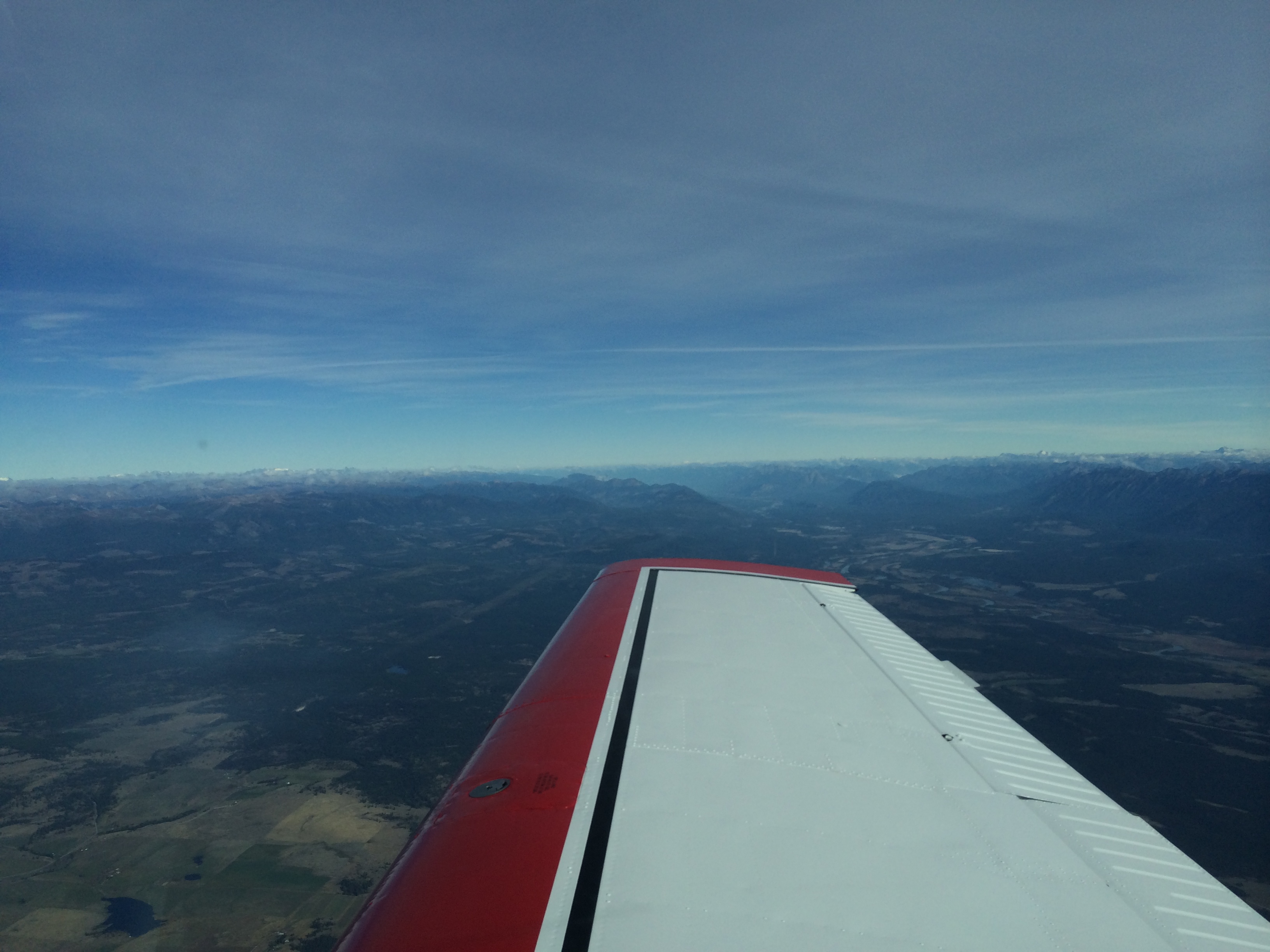
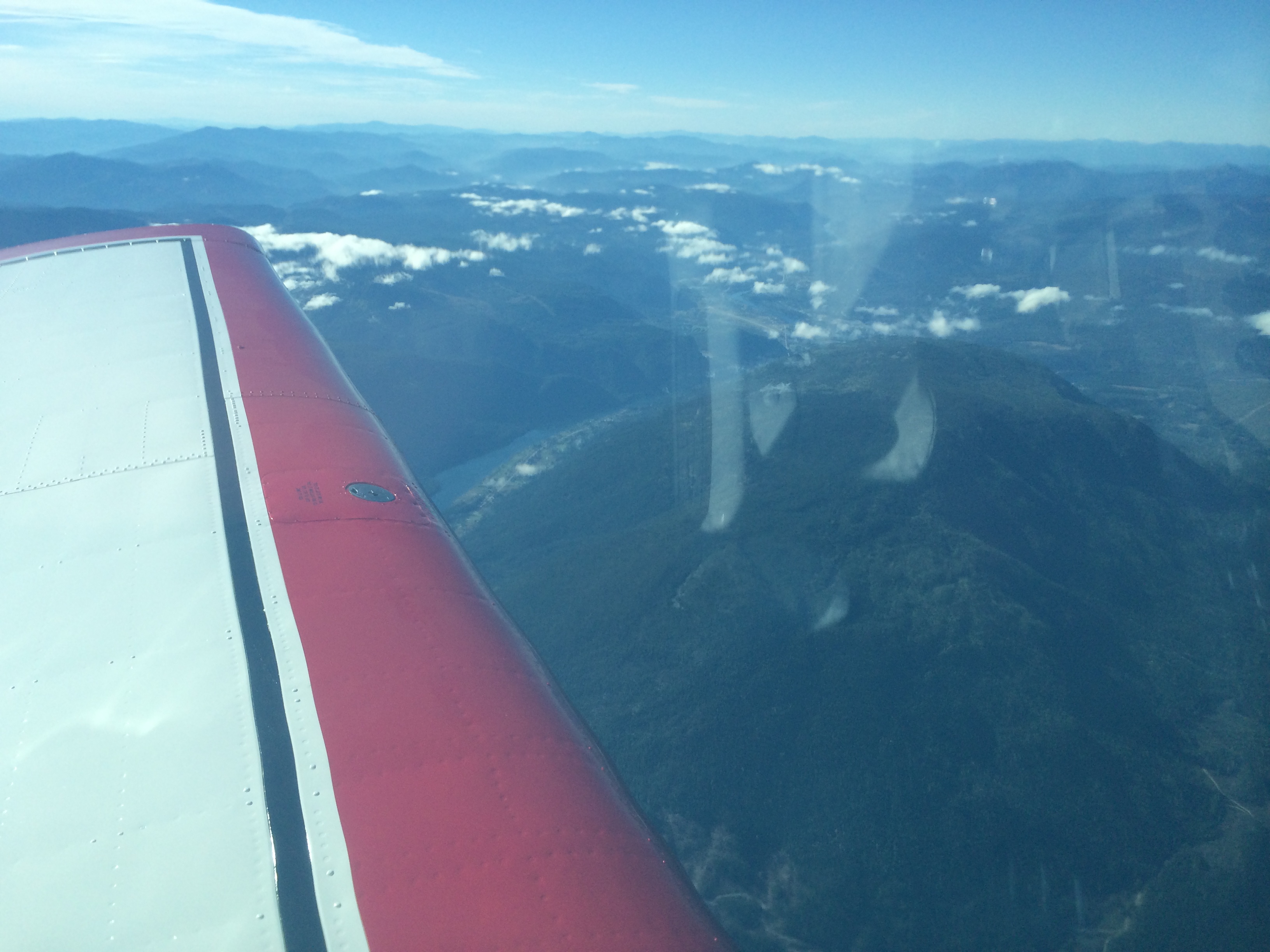
But on the way were the Rockies, and we flew history, following the Green One Airway as best we could, turning toward Hope as the poor pilots of TCA 810 did not. I think of them and of all of Canada's pilots. Rest in peace, you who have passed on.


Learning by Doing

September 27, 2014

The visibility is up to 4 miles, but the ceiling is still 400 feet. I can use Pincher Creek as a takeoff alternate. The wind is favouring runway 05 this morning – a great change from yesterday afternoon's 240/35. At 0945 local I take off into the ragged ceiling, cleared direct the VOR (YQL) and then on course, climb to 12,000 feet, call Edmonton Center through 6000 feet.

We reach 6000 at the VOR and are in the course reversal as we call. We break out between layers at 5000 and are on top of the next layer passing 10,500 feet. It looks like the high layer above will give way to blue as we move west.IMG_0397The OAT is hovering around zero, but as forecast there was no ice in the climb. Now it looks like the forecast will be right about the BC interior as well: little or no high cloud, and the stations either VFR or workable IFR in warm air. Here we are approaching Cranbrook (CYXC).IMG_0424Indeed, as we pass it is wide open.IMG_0422It is the gateway to the Rockies, as the view ahead confirms:IMG_0426Today's flight is another learning experience (as are all flights). I mentioned in my last post that my iPad overheated and shut down. I forgot to mention that just outside the FAWF on the approach to Lethbridge, the Loc and Glidepath (GPS) symbols disappeared and the GTN 650 announced that the approach was unavailable. Not enough satellites in view, I guess. The iPad (cooled and back up by now) was unperturbed. So we have the certificated avionics locking me out, and the Steve Jobs avionics acting cool.

Fortunately I was VMC and continued the approach. But it made me think even more about the many levels of instrumentation and avionics I am fortunate to have aboard, starting with the vacuum-driven Artificial Horizon and Turn and Bank. Then there are the pitot-static driven flight instruments and the legacy engine instruments. (By the way, Geoff Price and Bill Mehlen in CYQL diagnosed my legacy Manifold Pressure Gauge, which had developed the St. Vitus dance, swinging through 3 inches of indication. Broken bellows. Needs overhaul.)

Then I have the new glass panel avionics: the GTN 650, the Aspen 1000 Pro Primary Flight Display, and the EDM 830 engine parameters display, which includes a digital Manifold Pressure which is working perfectly. Finally, I have the Steve Jobs toolkit which includes the iPad and, fortunately today, the iPhone. As we now know, these can not only run their batteries down but also can overheat, and today the iPhone eventually does both. That is because for some reason my Satellite Weather receiver will not come up on my iPad. So near Cranbrook, eager for weather and radar updates, I use my backup – tethering the iPhone to the iPad and using the former's 3G. That works, but of course the iPhone needs more cooling now and is drawing more current. I'm going to add the iPhone USB cable to my cockpit toolkit, so if need be I can recharge the iPhone.

I have backups for backups in three or four categories of instruments, so any one failure doesn't result in a significant loss of information. But it makes me think again about how all this this technology, while ostensibly making our life easier, actually means we have to know a lot more: more about how each system works and what its limitations are.

Now we are approaching Castlegar, flight planned over the beacon, CG.IMG_0439There's the airport, ahead of the left wing. The low-level cloud has mostly cleared out.IMG_0440I decide to bring up the Synthetic Vision mode on the Aspen PFD. It is a little disorienting at first because there is so much information. I start with SV2 mode, which shows me the Rockies only on the top half of the display. My eyes have to re-learn where to look, and I give them time to do so while the workload is low.IMG_0441My thoughts drift back to the pioneers of 1939: how they had only my legacy instruments and the radio range. In cloud they had to visualize the rocks below. I am following Green One, the same airway they followed in 1939. I am flying at 12,000 feet for historical authenticity, but also because this is the only route with a 12,000-foot MEA (Minimum Enroute Altitude). The other airways are 14 thousand or higher.

All this has taken co-operation with the controllers, who are eager to offer direct here or there to help you out. But when I explain what I am doing they are very helpful, both letting me stay on my flight planned route and sometimes relaying the information to the next controller. In the end I am allowed to stay on what was Green One until after Hope (HE). In fact, my re-clearance (another helpful controller) HE-HARAS-YVR keeps me right down the Fraser River.IMG_0467In the last hour I have become accustomed to the SV. Approaching Hope I switch to SV1, which is full-screen terrain. You can see the Fraser River Valley and the little white flag marking Hope airport – CYHE.IMG_0466Here is a closeup of the PFD at Hope, in a slight right turn.IMG_0470There is a good view of the Fraser River Valley – synthetic, of course. The view brings my thoughts back to the pioneers, and to the unfortunate pilots and passengers of TCA Flight 810, a North Star out of Vancouver, bound for Calgary on the stormy night of December 9, 1956. The weather was bad: their course took them into a trowal, a trough of warm air aloft associated with an occluded front, where warm moist air is being forced up over colder air. The moisture in the warm air condenses into cloud, rain, or snow, and occasionally into super-cooled water droplets which, when encountering a speeding aircraft wing, freeze instantly into glaze ice. In extreme  conditions an aircraft can pick up its own weight in ice in a matter of minutes. That is a frightening experience, a true emergency.

Flight 810 reported icing in the climb, and shortly thereafter a fire in the number two engine. The workload must have been tremendous. We will never know for sure exactly what happened that night, but we do know they had been on the airways Red 75 and Red 44, which are south of the Green One airway I am flying today. The MEA's are higher on the Red airways, but they make a shorter route to Calgary.

When they were forced to descend, both because of the shutdown engine and because of icing, they requested and received a clearance to return to Vancouver via Hope and Green 1. But they turned right. Why? Direct to Hope would have been a left turn. Here is a Google Earth shot of the terrain. You can see Slesse Mountain, and Hope to the north:IMG_0135We know they turned right because as it happened the flight was being tracked by radar from an installation just south of the border in Birch Bay, Washington. The radar operators were talking to neither Flight 810 nor its controllers in Vancouver, but they could see the flight as it turned right, describing an arc from east through south to west-south-west, and then tracking a good twelve miles south of Green 1 and the Fraser River Valley.

I am thinking of them as I pass Hope. Here is what I see off my left wing at 12,000 feet:IMG_0476One of those peaks is Slesse Mountain, where the aircraft was found the next May, at an altitude of  7600 feet. I feel the loss. I am grateful to be here, over Hope, on this beautiful day. I wonder how they lost their situational awareness, but I am not critical or surprised. I imagine them in that terrible emergency, with all that pressure. Rest in peace.IMG_0478Beautiful, isn't it? White clouds mixing with white snow on mountain peaks. But deadly if you don't know exactly where you are in three dimensions. I think of the importance in my trade of maintaining that mental picture, that situational awareness. I think of a recent study I heard about on the radio, where people known for their sense of direction were given a task of navigation through the small, twisty streets of London Soho. They did very well indeed. Then they tried a control group – still people with a good sense of direction, but supplied with a GPS. They did worse than the first group. Somehow the technology was shorting out their natural talent, as the crisis shorted out the situational awareness of the pilots of Flight 810. I think of what I have to do to survive, flying this airplane with all its modern systems. I have to understand the systems. I have to know their limitations, and be instantly aware if they are not telling me the truth. And I have to maintain my own mental picture with the highest possible accuracy.IMG_0485Now Vancouver is there under my nose. I am at 7000 feet, being vectored for an ILS to 26L as planned. There is a lot of traffic. Then the controller alerts me than 26 Left has closed. Remember a few posts ago, when I was on approach in Winnipeg and couldn't figure out how to change an approach in the GTN 650 once it was activated? Well, I went back to the book and it's dead simple. Just touch the name of the approach on the screen, and you have the option to change it.

I do so now as he puts me on vectors for 26 Right. I remember the north side has different tower and ground frequencies from the south side. I have a standby CAP book beside me, open to CYVR ILS 26L. I flip it to 26R, and as I do I remember the tower frequency for the north side: 119.55. I remember because it's in my book, in Chapter Five. Otherwise I don't think I would have remembered. My last time in here was ten years ago.

Just as I relax a bit, having set up the ILS 26R frequency and making sure I have a glideslope again, the controller says, 26L is open again, can you switch back? Hey, no sweat. I've learned stuff since Winnipeg. Touch the approach name. Push the frequency knob to change the display to NAV. 110.7 for 26L is still in the standby window. Touch the top window, where 111.95 is displayed for 26R. The frequencies change position, 110.7 now active. Wait 15 seconds until I see the Morse ID appear: IFZ.  Push the frequency knob again to change the display to COMM. Touch 119.55 to change to the standby, 118.7 for south tower. Check for glideslope on the PFD. Piece of cake!

I am on heading 180° at 5000 feet, crossing the final approaches for both of the 26's. B-777's are sliding east underneath me, on downwind for the right side. No need to tell me: he's going to dump me down as soon as he can and turn me east on a left downwind to 26L. I slow to gear speed and tell him what it is. He says, thanks for the heads up. I'm nearing the top of the cloud at 3000 feet. Then I'm IMC, intercepting the localizer just under the glideslope. Nice vector.

I love that moment when you break out of cloud and the runway is there. That's what instrument flying is all about. It's not that low today – I see the runway at about 1200 AGL. But it still makes me feel good.

A WestJet B-737 calls ready on 26L. Tower says hold short, traffic on 2-mile final, a Beech Bonanza. There is no one close behind me, so I concentrate on getting her slowed to 70 knots, her ideal speed with full flap. Then I ease below the glideslope so I can touch closer to the threshold. I want to turn off at the BRAVO taxiway, about 2000 feet down the 11,500-foot runway.

I do, and it's even a good landing. As I turn off I remember the last landing of my airline career, an A-321 on 24L in Montreal. Light winds, after a rain. Pilot's dream, because the wheels spin up slowly in the wet. Plenty of runway. Idle reverse and AutoBrake LOW. Smooth as landing in powder snow.

Sure know how to make a pilot feel good.

Meeting History

September 26, 2014

What a fabulous day! Arcadia is overnighting in style, in the beautiful 1936 Dominion Bridge-built hanger in Lethbridge. Back in the day, it was TCA's hangar. The flight I am re-enacting certainly pulled up in front of it and refuelled; it didn't stay the night because it had a date in Vancouver. (Maybe the pilots wouldn't have minded staying, with 12 hours already under their belts.)

But I'm jumping ahead. First we have to get there . . .

It was a beautiful morning in Regina. Here is the view from my hotel window at dawn:IMG_0302Colton from CTV news met me at the airport to get a few more shots of the airplane and film my takeoff. The wind was 130/17G22. Dustin from the Esso FBO volunteered to escort Colton closer to the runway. I took off from the B1 taxiway, so it would be gear up abeam Colton and Dustin.

Here is the first turn on the Regina Niner Departure:IMG_0305The first hour to Swift Current is smooth. But the OAT at 8000 feet is +21° C! I have never seen it that warm before at that altitude. The Jetstream is way north and the big high south of it is one of the warmest blobs of air I have experienced. It was so hot and the sun so bright my iPad overheated and shut down. Here's a new thing that can go wrong! I know batteries can get low. But there is always something else, isn't there? Here is my solution:IMG_0314So I leave the iPad off for the next hour, occasionally feeling under the paper to see if it's cool yet.

But there's gotta be a transition . . .IMG_0321This is the harbinger of an interesting ride. Turboprops on climbout are reporting turbulence in these clouds, and I think I know why: this is the east end of a mountain wave. Sure enough, suddenly the ride at 8000 is bumpy too. After a while it smooths out, but it's eerie: I feel that something is going to happen. Suddenly I am pushing forward to maintain altitude, the True Airspeed rising from 165 to 175 knots. I decide to jot down times and winds. Then I am pulling back to hold altitude and the TAS drops below 160. After 15 minutes I look at my log: the cycle is 6 minutes from updraft to sinker and back. The wind is 200/60. Smooth. But I really have to pay attention to hold altitude.

This was the baby mountain wave, the controllable, smooth one. If it had been stronger I would have had to slow to Va, the maneuvering speed. And I might not have been able to hold altitude. I would have had to alert the controller and go with the wave.IMG_0325Now we're over Medicine Hat – almost there! It is a GPS to 23. The wind is 240/13G20, but it is forecast to blow 35 knots. My plan is to land before it does. We ask for and receive direct NORIG for the RNAV 23 approach. Soon after, the controller comes back with cleared to the Lethbridge airport for an approach. Here we are approaching NORIG:IMG_0334There is continuous light to moderate turbulence on the descent. When I switch to Lethbridge Radio he reports the wind is now gusting to 25. I'm going to get there before the worst of it. Here is a shot off the right wing on short final:IMG_0342I'm in the West! Isn't that beautiful?

Geoff Price greets me on arrival. I called him yesterday to arrange an oil and filter change. He quickly acquaints me with the surprise: I had no idea this hangar existed!IMG_0380The hangar is (thankfully) a heritage site, unlike its sister in Winnipeg. It is a beautiful piece of architecture.

The doors are a classic of mechanical design. And it is historic. The flight I am re-enacting stopped here. Here is TCA's route structure in 1939.IMG_0356You can see the route we are doing. And here is dear Arcadia getting her oil changed:IMG_0360The mechanic is Bill Mehlen. And the hangar deserves a blog to itself. Stay tuned.

Don’t Tempt the Weather Gods

Wednesday, September 24, 2014

Before I opened the curtains this morning, I answered a friend's email. He asked about today's trip. CAVOK, I said. The prairies are enjoying a heat wave.

That's tempting the weather gods – a real no-no. When I did my self briefing I saw that it was perhaps no sweat, but it was definitely not CAVOK.

What's CAVOK? It's the colloquial version of CAVU – Ceiling And Visibility Unlimited. A synonym in pilot speak is wide open.

Winnipeg was not wide open. On takeoff I was into cloud at 600 feet, briefly between layers, and then in solid cloud until 6000 feet. But then I was on top, cruising over the undercast.

IMG_0267The good news is that the prairies are indeed in a heat wave – temperature up to 30° C. on the ground and an amazing 14° C up here at 8000 feet. No worries about icing today. Before Langruth (VLR) the controller offers us direct Broadview (YDR). We settle in to cruise mode.

The first hour we remain over a solid undercast stretching in all directions, with the sky above a brilliant blue. But Regina is reporting high broken with good visibility underneath. Here is the transition, looming ahead:

IMG_0277Then we are there, at 30 miles from Broadview.

IMG_0280The high broken is still ahead of us . . .

IMG_0279. . . and we are passing the edge of the undercast.

The 16Z ATIS Golf gives 25,000 thin broken, visibility 12 miles. The wind has veered slightly to 340° at four knots. The approach is  the GPS Z to runway 31.

Perfect. I should be able to land and clear at the Kilo, only a couple of hundred yards from the Esso FBO, where I am to meet some people from the Regina Ledger. I ask the controller for a clearance direct to MUVAN, the Initial Waypoint for that approach. He clears us as requested.

IMG_0290The GPS distance and time estimates make for easy and precise descent calculations. I am at 8000, and a good altitude for MUVAN is 4000. At 500 feet per minute, that will take eight minutes. I wait for nine minutes from MUVAN and request descent. Here we are a couple of minutes later:

IMG_0291As we turn final I get a rush of nostalgia. This is a blast from the past – the long past. I remember this view from the DC-9. How long ago is that? Twenty years, at least. There is the city of Regina, ahead to the right. And Runway 31, straight ahead.

A Dash 8 lands ahead of us on 08, but there is no one behind on the approach to 31 and I can slow to the Bonanza's normal approach speed of 70 knots. I turn off at the Kilo without difficulty.

I taxi toward the Esso, just ahead. There are three men waving at me from the gate. I have to do a U-Turn when I see there is no separate ramp area for the Esso, just two vehicle gates and a walkway gate. But the edge of the ramp has tiedowns, clearly marked with yellow circles, so I can easily pivot into a space beside a Cessna.

IMG_0296Here we are tied down in Regina.IMG_0297

North of Superior

Sunday, September 21, 2014

The weather is still miserable in Kapuskasing, and I have three things on my mind. First, this a long leg, the longest of the trip: four hours, give or take, to Winnipeg. Normally, that would not be a problem, but I am breaking in two new cylinders and must run at 70% power and rich of peak EGT. That means 15 gallons per hour, and the Bonanza holds 74. So today she's a five-hour airplane. Second, I would like enough of a ceiling so I can get the gear up before going IMC, and I don't want ice. But third, I can't go until I solve the problem that appeared on my arrival Friday afternoon: as I was starting the approach, suddenly the static in my headset was so loud I couldn't hear the radio. I could hear responses to my transmissions but couldn't make them out. It wasn't a factor at the uncontrolled field and I had been cleared for the approach so I ignored it and concentrated on landing.

I waste time tracking it down with my hand-held VHF, which receives a lot of noise when I turn on the master switch. (Well, not really wasted time, because it is in failure that you learn so much). Finally I realize that yes, it is as I thought last night when I was walking to supper: it is my own finger trouble. On the audio panel I had left NAV 1 on, and when I lost the Timmins VOR on descent there was just noise. It was more of a gotcha because my NAV 2 radio has a volume control which I use, leaving NAV 2 on. Now my COM checklist will include NAV 1 off.

There are hopeful bits of sun poking through as I start up, although the rain starts again at the same time, a powerful soaking mist. I turn on the windshield defrost. Birds are a problem, too. It is Sunday, so the airport guys shooting shotgun blanks from their truck are not on duty. I sashay down the runway like a taildragger with my lights on, trying to scare them off. I am doing my checks as well, because I want to line up and go before they come back.IMG_0106

There is sun breaking through and there is a rainbow as I line up. A good omen.

Gear up, and I'm into the clag, as the pilots say. Wet and bumpy despite the breaks of sun. Solid IMC until I get on top, between five and six thousand, just like the GFA said. And no icing, either – also as the GFA promised. There is warm air creeping in over this miserable wet stuff. The OAT on the climb went from 8° down to 0 and back up to 4°.


IMG_0110

Now I settle down to the routine of cruise. Right tank when the big hand is on the right, and vice versa. Position reports. (A have to do a couple, because at 8000 I'm off ATC's radar for several hundred-mile sections of the track.) And then the luxuries: lunch – an apple, trail mix, and water. It tastes good. Best of all is the GoPilot my son and daughter in law got for me. I'm not young, and on a four-hour leg I need it. I'm learning how to use it without doing an inadvertent barrel-roll.

IMG_0122

Still over a solid undercast. I have my Garmin GTN 650 on Nearest Airports, and I get the weather for those that report and learn runways, frequencies, and approaches just in case. Then I'm over Lake Nipigon.

IMG_0150Almost exactly at the western shore the cloud below breaks up.

IMG_0151

Yes, this is Canada, North of Superior. Minnesota may have 100,000 lakes – here there must be a million.

IMG_0156

CYXL – Sioux Lookout – is wide open. I press my face against the side window and look down. I can read the 34 on the runway threshold. There is a GPS LPV approach to that runway that's good down to 273 feet. Miracles of modern technology! I am musing about how this is so different from the flying the early bush pilots did, and yet just the same. I think about how Lindbergh stayed awake by flying 100 feet above the Atlantic. I'm staying awake by flying, but the difference is that if I get distracted and lose a hundred feet I don't hit the water.

The undercast comes back after Sioux Lookout. North of Kenora I'm thinking about it as a destination and about my legal alternate, Portage La Prairie. It's tight for fuel, and realistically, now not quite legal. But Winnipeg is VFR – 3000 broken. So here I am, guilty as charged. I'm doing a version of what countless overseas flights do, including AF 447. Re-clearance. I'm saying, well, now I'm here and it's VFR, it's OK. I'm going to Winnipeg.

My plan A is to land on runway 31. It's closer to straight in, a shorter, more efficient approach. But the official deal, on the ATIS, is an ILS to 36. When I call in to approach with the ATIS, they say, can you do direct NOXAM for and ILS 36? I say yes, and it's a bit of work because (don't ask me why) the Garmin database does not offer me the option – and it's the IF for the approach! So I do it manually and activate the approach.

Some minutes later, in view of the traffic for 36, the controller offers me 31. I say, sure. Then I try to do it. Perhaps it is the heat of battle and my inexperience, but I cannot figure out how to change the approach in the Garmin GTN 650 when it has already been activated. Do I have to remove Winnipeg as destination and then enter it again? The heck with that. Asking for trouble. Hat in hand, I ask to remain on vectors for 36. They hold me at 4000 (I had been cleared to 3000) and turn me left a bit to put me behind faster traffic.

IMG_0157Here I am tied down at Avitat in Winnipeg. I'll get back to you about how to change the approach in the GTN 650 once it's activated.


Kapuskasing

Last night the low moving into Northern Ontario, pushing into yesterday's great high (30.45 inches), pushed me into setting my alarm. Sure enough, this morning the low is coming, and with it a 75-knot Low Level Jet, an almost direct crosswind for my route of flight.

At the airport (North Bay) at 0815 the sun has risen into a clear sky, and the airplane is covered with frost. It is facing south, so before I pack and pre-flight I pull it forward and turn it east. The frost on the red leading edges is already melting, so I brush that off with my gloves and hope the red will grab enough energy from the sun so the wings will heat up a bit and the frost will melt on the white as well.IMG_0066

I go back and forth between loading and frost removal. The white flaps and ailerons are the last to melt – I take off my gloves and use my warm (for a while) fingers to slide off the last of the frost.The ride up to Earlton at 8000 feet is perfect – smooth and CAVOK, and the OAT +3° C. Then the cloud approaches. By Timmins I am in IMC (Instrument Meteorological Conditions). The temperature holds at plus 2 or 3, although once I looked and saw plus 1 and was preparing to ask for a descent. But no ice, even in and out of the tops. Meanwhile that LLJ (Low Level Jet) is for real. I get used to going sideways; the track diamond is on course but the heading is waay west. Amazingly, there is almost no turbulence.

On descent I am out of cloud at 4000 feet, with wisps of scattered stuff below. The LLJ is still there, and still 75 knots! The wind on the ground is 190° at 15 gusting to 22 knots.

I set up the GPS 17 approach and decide to fly the whole U-Turn via ERBAD.IMG_0082The five-mile base leg from ERBAD to RUDVA takes forever. The LLJ is still blowing 60-70 knots and even clean my groundspeed is in the 40's. I prepare my mind for the sideways final, and for the turbulence as 60 knots morphs into 15 gusting to 22. Sure enough, as I intercept the glideslope (LNAV + V) I have forty degrees of drift for a minute or so. Then the turbulence hits. But the four-light VASI (are those PAPI's? I don't have my references with me) and the mini rabbit strobes are comforting. The landing is a non-event, unlike the violent gusts my dear wife remembers so well from last winter in Scottsbluff, Nebraska.

With a broken weld on my door strut, I park directly into the wind on the ramp. I finally figure out that there are no tie-downs (the way I think of them), but that giant loader has two big concrete tubs in its beak, waiting to put them where I park. Rock Robitaille, the kind and helpful Airport Manager (he has been for 35 years) has arranged it all after my phone call last week.IMG_0087

There is plenty of wind and rain coming.


Corporate Flying

September 17, 2014

I have to have a flexible departure time today. Charles wants to have another go at the CBC. Yesterday was airline flying: a fixed departure time that you meet as best you can, and I did. Start was one minute late, takeoff three minutes early, and landing four minutes early, or one minute early on the once enroute projection. I was trying to be where I said I would be, and when. Just like the airline.

Corporate flying must feel like today. I am trying to be ready to go anytime between 9AM and 2PM.

Whoops! I came back from breakfast and the world had changed. A new low on the GFA chart. Snow in Timmins and rain coming to North Bay. I start to look for alternates. Pembrooke. Midlands. Muskoka. Too many north-south runways. The wind, with this low or occluded front or whatever it is, is forecast to veer south-southwest and blow 20-25 knots. The freezing level is about five thousand feet, and icing is now forecast where it hadn't been before breakfast.

It's not working. I step back a pace and say, OK, the alternate has to be Ottawa. I'll have to come back here. That's one problem. Then the freezing level. I had planned for 8000 feet cruise altitude. I'll make it six, and I can go down to four if I need to – the MEA (Minimum Enroute Altitude) is four thousand until Killaloe and then 4300, and if I'm really in trouble with ice the MOCA (Minimum Obstacle Clearance Altitude) is 2800. I don't want it to come to that, though.

The weather is changing so fast there is a new forecast due out in half an hour. I decide to wait for it. But then in 5 minutes my head swings around. If I wait until – let's say – 2PM, the whole operation is just too risky. I would probably wind up back here in Ottawa. But what about the kids I'm going to talk to tomorrow morning? I would miss that opportunity. If I'm going I have to go now.

So I do. The clear morning sky is already clouding over with high layers, the sun disappearing. I fill up with gas so I'll have 5 hours of endurance, re-file my flight plan for 11AM, and take off. Part of the calculation is the wind, and the approaches at North Bay. The ceiling is forecast to be 500 feet, which is fine for the ILS on Runway 08 (200 ft. limits) but iffy for the other approaches with 500-ft. MDA's. So I'm hoping to land on 08 before the wind veers around to 240°.

I'm still in the clear at six thousand, but layers of cloud are approaching rapidly. The good news is the temperature is +3° C. By Renfrew I am in and out of cloud, some of the little cumulus quite bumpy, making hand flying busy.

But there's no ice. The OAT is hovering between 2° and 3° at 6000 feet. The wind is still favouring Runway 08. And I get to do my first ILS with a DME arc – that is, the first using GPS for the arc.

IMG_0133The rain starts as I'm finishing the tie-down. A year ago I made 2 pairs of chocks, spliced eyes in three tie-down ropes and forged three stakes out of rebar. Now I know why.

IMG_0054It was a nasty night in North Bay – steady, soaking rain.

Training Flight

We’re off! It felt good to fly again. Here we are in sequence, from runup to takeoff to gear up: IMG_1154Don’t look at the camera! IMG_1159Heading for the runway. IMG_1166Gear doors open! Gear coming up!

Busy! The clearance is CYOW RV H300 expect ALSET for the River 9 M4T, squawk 5236. No sooner have I got ALSET set up than I switch to center and he gives me direct THURO. Big left turn, but that’s the way I filed. I get ATIS X and center switches us to Terminal and I check in and he say’s it’s now Y. Then I start to catch up. At THURO there’s no further clearance except direct CYOW, so to clarify I request direct TEFLY for the GPS Z runway 25. The controller cheerfully says, Cleared as requested, cleared to 3000 pilot’s discretion. According to the ATIS the ceiling is 800 feet, so circling is possible at 880, which is 500 AGL. So it will be plan B: head up runway 25 to runway 32, cross runway 22 into a right downwind, and continue in the right-hand circuit to landing. I stayed tight and forgot I was going to have a tailwind on base (wind 260/20 at 500 feet) until I started the turn. I cranked it a little tighter, overshot the centreline, but corrected back with enough skill to sort-of save face. Got the speed back to approach in time and turned off at the Mike just over halfway down the 3300-foot runway.

All in all, a good training exercise. Aren’t all flights?

This is fun!

I’m enjoying this! First there’s Dave and Larry taking pictures of me as we do the runup in Lachute, then after we land in Ottawa Andry (pronounced Anch) and Lance give me complements on my looks. Imagine! At my age!

Here's a closeup of me and Chris. He looks like he's conducting, doesn't he?

IMG_1158

Here I go into the white and blue.

IMG_1165Start of takeoff.

IMG_1166Airborne!

IMG_1167Gear up!

IMG_1168Into the white and blue!

I love playing in cloud. Today there was a broken layer from 1500 to 3000 feet, so we busted up through it and then did an approach down through it – Ottawa was still officially IFR.

It reminded me of my DC-9 days. The pilots loved short legs like Montreal Ottawa and competed with each other for the shortest OFF-ON time. I think they cheated on the 250 below 10,000 feet. I just know I was going like stink. It still makes me smile!